Diversified Zone · China

Tara Industrial Park Active
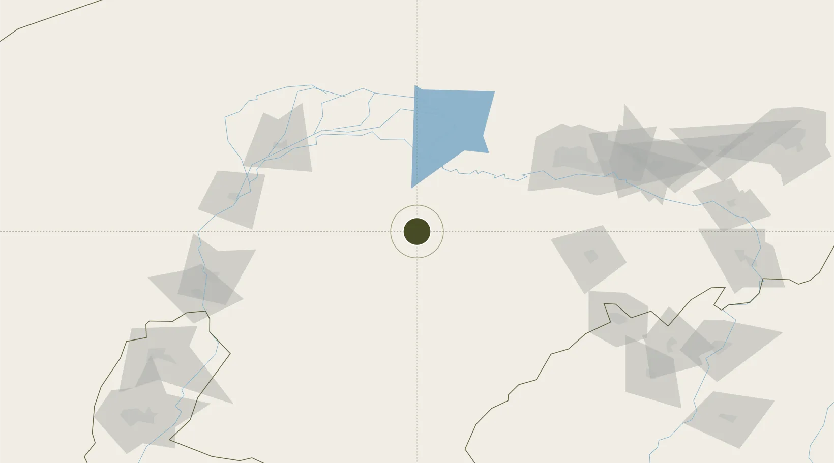
40.0405°, 108.5491°
945 ha
Zone area
805.1 km
Nearest port
119.9 km
Nearest airport

Gateway access

Nearest neighbours — logibook spatial index (haversine) over the source coordinates

Zone profile

Zone type
Diversified Zone
Open Zone Map
Region
Inner Mongol
Open Zone Map
Status
Active
Open Zone Map
Management
Public
Open Zone Map
Operator
Tara Industrial Park Management Committee
Open Zone Map
Legal framework
In 2010, the park entered the autonomous region
Open Zone Map

Location

Location of ozm-657
Natural Earth 10m (public domain) · Inner Mongol · ozm-657 · 40.04, 108.55GoogleOSMYandex

Nearby Logistics Neighbours

Ports
  1. 1Tianjin Xin Gang805 km
  2. 2Tangshan (Jingtang)901 km
  3. 3Qinhuangdao942 km
  4. 4Longkou Gang1050 km
  5. 5Huludao Gang1055 km
Nearest neighbours — logibook spatial index (haversine) over the source coordinates
Airports
  1. 1Bayannur Tianjitai Airport120 km
  2. 2Ordos Ejin Horo International Airport128 km
  3. 3Baotou Donghe International Airport136 km
  4. 4Wuhai Airport152 km
  5. 5Ruad Zhongqi Hailiutu Airport185 km
Nearest neighbours — logibook spatial index (haversine) over the source coordinates
Cities
  1. 1Bayannur126 km
  2. 2Baotou139 km
  3. 3Bayan Obo226 km
  4. 4Yinchuan264 km
  5. 5Hohhot278 km
Nearest neighbours — logibook spatial index (haversine) over the source coordinates
Trade Zones
  1. 1Wuyuan Industrial Park119 km
  2. 2Jiuyuan Industrial Park121 km
  3. 3Shiguai Industrial Park121 km
  4. 4Zhuozi Economic and Technological Development Zone124 km
  5. 5Dalad Economic Development Zone130 km
Nearest neighbours — logibook spatial index (haversine) over the source coordinates
DatabookThe Record of Consolidated Knowledge
China beyond logistics?
Browse databook

All Sources

Trade ZonesOpen Zone Map
CC BY
Portsthe NGA World Port Index
Public domain (US gov)
AirportsOurAirports
Public domain
LocationsUN/LOCODE
UN/LOCODE — free
← China trade zones