Runway & Layout

Runways · 1
| Runway | Dimensions | Surface | True heading | Lit |
|---|---|---|---|---|
| 18/36 | 8,530 × —ft | — | — | — |
Airport Specifications
IATA code
LLV
ICAO code
ZBLL
Airport class
Medium airport
Scheduled service
Yes
Served city
Lüliang
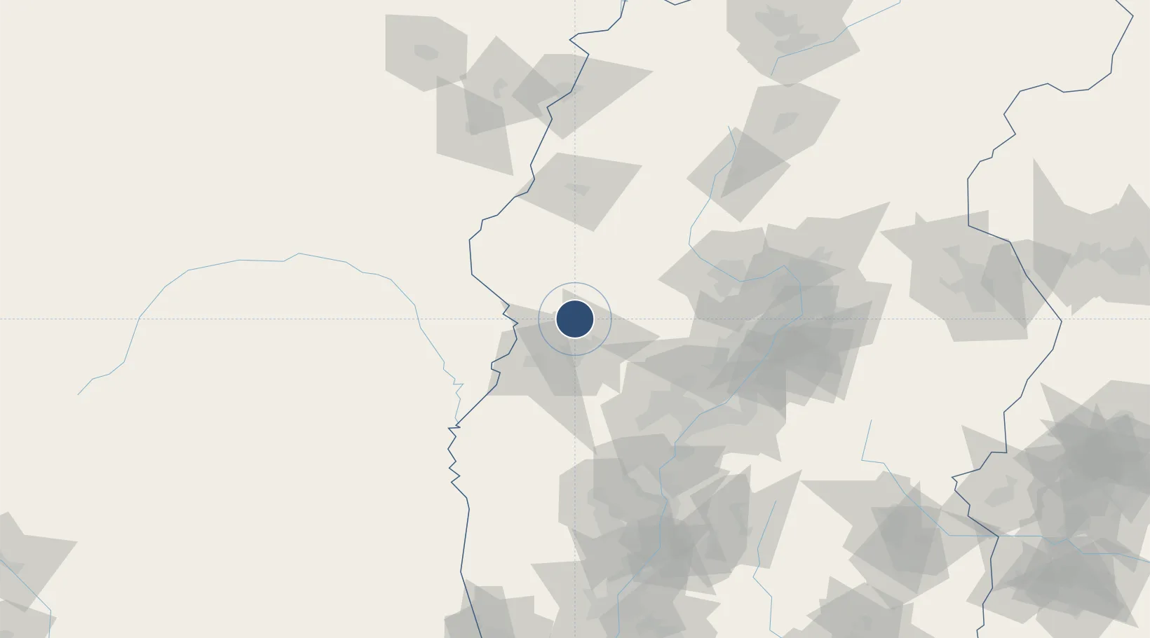
Location
Nearby Logistics Neighbours
Airports
- 1Wenshui Air Base79 km
- 2Taiyuan Wusu International Airport131 km
- 3Yulin Yuyang Airport155 km
- 4Linfen Yaodu Airport178 km
- 5Xinzhou Wutaishan Airport189 km
Ports
- 1Tianjin Xin Gang601 km
- 2Tangshan (Jingtang)706 km
- 3Qinhuangdao775 km
- 4Lanshan791 km
- 5Rizhao795 km
DatabookThe Record of Consolidated Knowledge
China beyond logistics?