Transport Functions
Rail
Road
Multimodal
Hub Profile
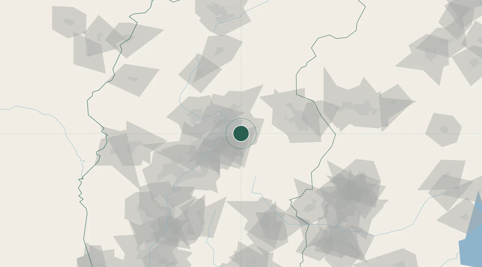
Place type
Provincial seat
Region
Shanxi
Population
1,226,617
Time zone
Asia/Shanghai
Elevation
821 m
Location
Nearby Logistics Neighbours
Cities
- 1Shijiazhuang160 km
- 2Linfen208 km
- 3Xinji218 km
- 4Jincheng245 km
- 5Hebi256 km
Ports
- 1Tianjin Xin Gang467 km
- 2Tangshan (Jingtang)573 km
- 3Qinhuangdao647 km
- 4Lanshan660 km
- 5Rizhao662 km
Airports
- 1Taiyuan Wusu International Airport12 km
- 2Wenshui Air Base74 km
- 3Xinzhou Wutaishan Airport104 km
- 4Lüliang Dawu Airport140 km
- 5Changzhi Wangcun Airport163 km
Trade Zones
DatabookThe Record of Consolidated Knowledge
China beyond logistics?