Diversified Zone · China

Dalad Economic Development Zone Active
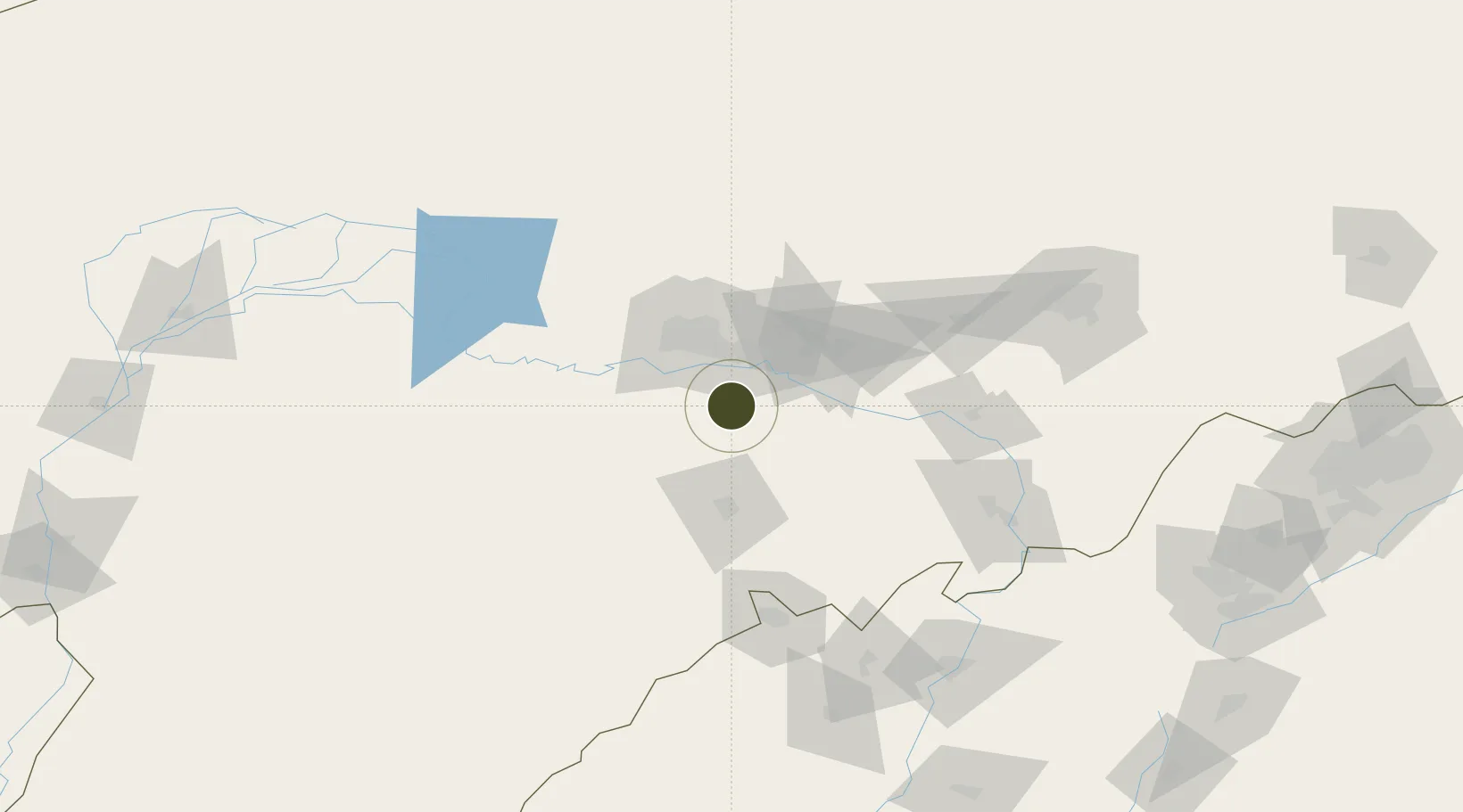
40.3210°, 110.0339°
125 ha
Zone area
684.3 km
Nearest port
26.8 km
Nearest airport

Gateway access

Nearest neighbours — logibook spatial index (haversine) over the source coordinates

Zone profile

Zone type
Diversified Zone
Open Zone Map
Region
Inner Mongol
Open Zone Map
Status
Active
Open Zone Map
Management
Public
Open Zone Map
Operator
Management Committee of Dalad Economic Development Zone
Open Zone Map
Legal framework
Founded in 2001
Open Zone Map

Location

Location of ozm-335
Natural Earth 10m (public domain) · Inner Mongol · ozm-335 · 40.32, 110.03GoogleOSMYandex

Nearby Logistics Neighbours

Ports
  1. 1Tianjin Xin Gang684 km
  2. 2Tangshan (Jingtang)778 km
  3. 3Qinhuangdao816 km
  4. 4Huludao Gang926 km
  5. 5Longkou Gang934 km
Nearest neighbours — logibook spatial index (haversine) over the source coordinates
Airports
  1. 1Baotou Donghe International Airport27 km
  2. 2Ordos Ejin Horo International Airport93 km
  3. 3Hohhot Bikeqi Air Base111 km
  4. 4Hohhot Baita International Airport162 km
  5. 5Bayannur Tianjitai Airport205 km
Nearest neighbours — logibook spatial index (haversine) over the source coordinates
Cities
  1. 1Baotou34 km
  2. 2Hohhot149 km
  3. 3Bayan Obo161 km
  4. 4Bayannur230 km
  5. 5Datong277 km
Nearest neighbours — logibook spatial index (haversine) over the source coordinates
Trade Zones
  1. 1Baotou Aluminum Industrial Park29 km
  2. 2Baotou Equipment Manufacturing Industrial Park40 km
  3. 3Jiuyuan Industrial Park49 km
  4. 4Shiguai Industrial Park49 km
  5. 5New Industrial Park of Tuyou Banner, Baotou City60 km
Nearest neighbours — logibook spatial index (haversine) over the source coordinates
DatabookThe Record of Consolidated Knowledge
China beyond logistics?
Browse databook

All Sources

Trade ZonesOpen Zone Map
CC BY
Portsthe NGA World Port Index
Public domain (US gov)
AirportsOurAirports
Public domain
LocationsUN/LOCODE
UN/LOCODE — free
← China trade zones