Large airport · China

Baotou Donghe International AirportZBOW
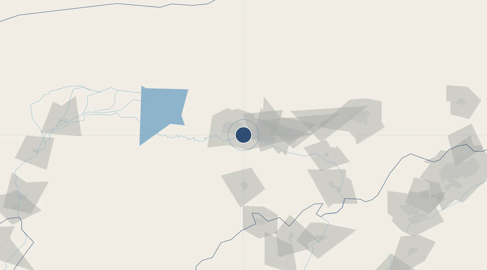
40.5600°, 109.9970°
9,186 ft
Longest runway
1
Runways
3,321 ft
Elevation

Runway & Layout

Baotou Donghe International Airport runway & taxiway layout
Runway & taxiway layout — OpenStreetMap (ODbL) / OurAirports

Runways · 1

RunwayDimensions SurfaceTrue headingLit
13/31 9,186 × 200ft Asphalt 130°
OurAirports

Airport Specifications

IATA code
BAV
OurAirports
ICAO code
ZBOW
OurAirports
Airport class
Large airport
OurAirports
Scheduled service
Yes
OurAirports
Runway surface
Asphalt
OurAirports
Served city
Baotou
OurAirports

Location

Location of ZBOW
Natural Earth 10m (public domain) · Inner Mongol · ZBOW · 40.56, 110.00GoogleOSMYandex

Nearby Logistics Neighbours

Airports
  1. 1Hohhot Bikeqi Air Base106 km
  2. 2Ordos Ejin Horo International Airport119 km
  3. 3Hohhot Baita International Airport157 km
  4. 4Ruad Zhongqi Hailiutu Airport185 km
  5. 5Bayannur Tianjitai Airport194 km
Nearest neighbours — logibook spatial index (haversine) over the source coordinates
Cities
  1. 1Baotou7 km
  2. 2Bayan Obo134 km
  3. 3Hohhot145 km
  4. 4Bayannur223 km
  5. 5Datong283 km
Nearest neighbours — logibook spatial index (haversine) over the source coordinates
Ports
  1. 1Tianjin Xin Gang693 km
  2. 2Tangshan (Jingtang)784 km
  3. 3Qinhuangdao819 km
  4. 4Huludao Gang927 km
  5. 5Jinzhou Wan936 km
Nearest neighbours — logibook spatial index (haversine) over the source coordinates
Trade Zones
  1. 1Baotou Aluminum Industrial Park11 km
  2. 2Baotou Equipment Manufacturing Industrial Park14 km
  3. 3Dalad Economic Development Zone27 km
  4. 4Jiuyuan Industrial Park28 km
  5. 5Shiguai Industrial Park28 km
Nearest neighbours — logibook spatial index (haversine) over the source coordinates
DatabookThe Record of Consolidated Knowledge
China beyond logistics?
Browse databook

All Sources

AirportsOurAirports
Public domain
Portsthe NGA World Port Index
Public domain (US gov)
LocationsUN/LOCODE
UN/LOCODE — free
Trade Zonesthe World Bank SEZ database
CC BY 4.0
Trade ZonesOpen Zone Map
CC BY
InfrastructureOpenStreetMap
ODbL 1.0
← China airports