Diversified Zone · China
Luyi County Industrial Cluster Active
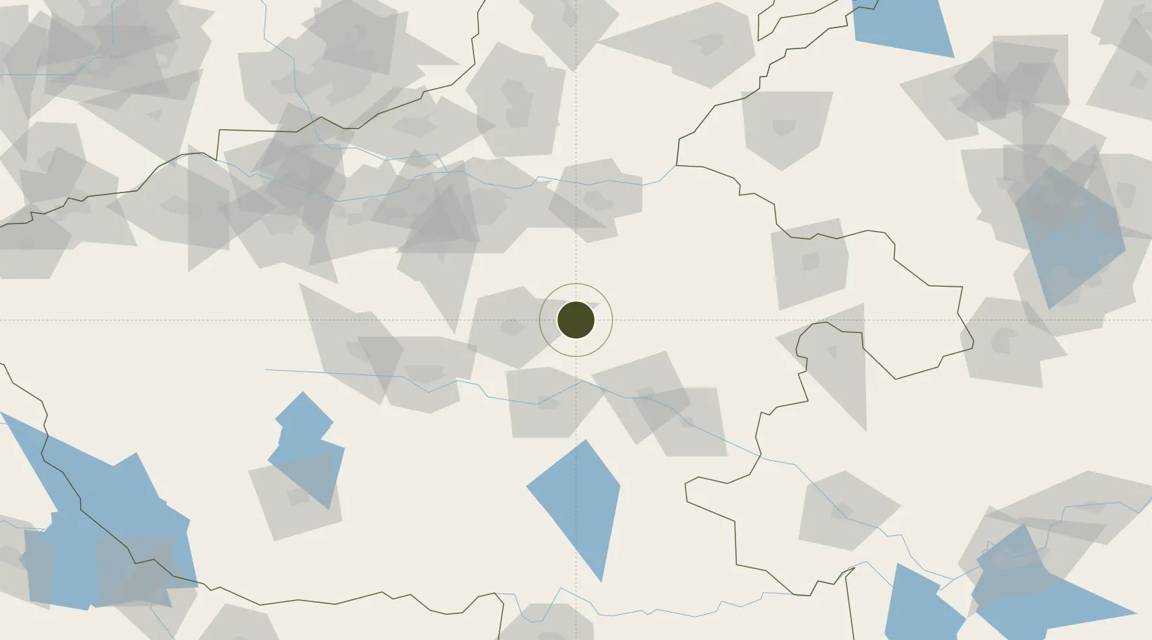
34.0773°, 114.2241°
1,260 ha
Zone area
388.6 km
Nearest port
60.7 km
Nearest airport
Gateway access
Zone profile
Zone type
Diversified Zone
Region
Henan
Status
Active
Management
Public
Operator
Luyi County Industrial Cluster Management Committee
Legal framework
It was founded in 2006.
Location
Nearby Logistics Neighbours
Ports
- 1Hankow389 km
- 2Nanjing476 km
- 3Lanshan484 km
- 4Lianyungang485 km
- 5Rizhao509 km
Airports
- 1Zhengzhou Xinzheng International Airport61 km
- 2Kaifeng Air Base76 km
- 3Zhengzhou Air Base98 km
- 4Shangqiu Air Base121 km
- 5Luyang Air Base131 km
Cities
- 1Zhoukou64 km
- 2Kaifeng79 km
- 3Zhengzhoudong Railway Station86 km
- 4Zhengzhou92 km
- 5Pingdingshan94 km
DatabookThe Record of Consolidated Knowledge
China beyond logistics?