Transport Functions
Rail
Airport
Postal
Hub Profile
Place type
Regional capital
Region
Henan
Population
4,253,913
Time zone
Asia/Shanghai
Elevation
104 m
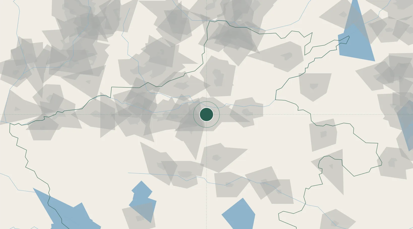
Location
Nearby Logistics Neighbours
Cities
- 1Zhengzhoudong Railway Station9 km
- 2Dazhaoying56 km
- 3Kaifeng61 km
- 4Xinxiang62 km
- 5Jiaozuo71 km
Ports
- 1Hankow469 km
- 2Lanshan521 km
- 3Lianyungang528 km
- 4Rizhao541 km
- 5Nanjing558 km
Airports
- 1Zhengzhou Air Base12 km
- 2Zhengzhou Xinzheng International Airport32 km
- 3Kaifeng Air Base61 km
- 4Luoyang Beijiao Airport117 km
- 5Luyang Air Base140 km
DatabookThe Record of Consolidated Knowledge
China beyond logistics?