Transport Functions
Port
Rail
Road
Hub Profile
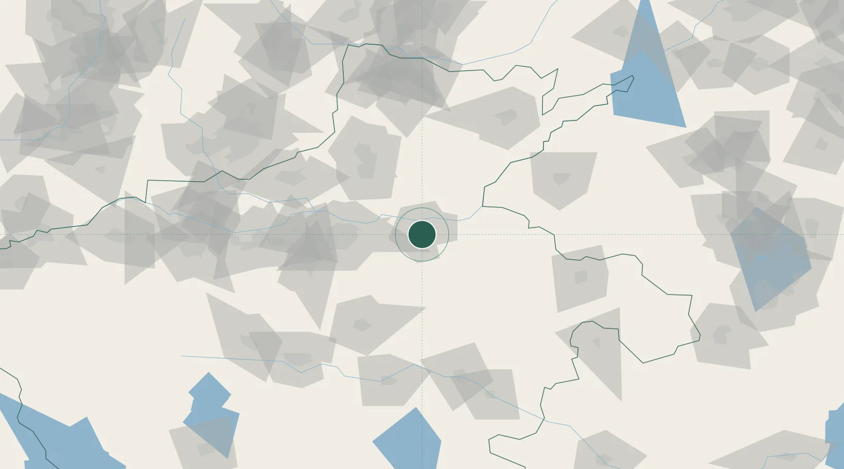
Place type
Populated place
Region
Henan
Population
1,451,741
Time zone
Asia/Shanghai
Elevation
76 m
Location
Nearby Logistics Neighbours
Cities
- 1Zhengzhoudong Railway Station52 km
- 2Zhengzhou61 km
- 3Xinxiang72 km
- 4Dazhaoying75 km
- 5Hebi108 km
Ports
- 1Lanshan460 km
- 2Hankow467 km
- 3Lianyungang467 km
- 4Rizhao481 km
- 5Nanjing508 km
Airports
- 1Kaifeng Air Base3 km
- 2Zhengzhou Xinzheng International Airport53 km
- 3Zhengzhou Air Base56 km
- 4Shangqiu Air Base110 km
- 5Anyang Hongqiqu Airport122 km
DatabookThe Record of Consolidated Knowledge
China beyond logistics?