UN/LOCODE hub · China
CNZZZ

Zhengzhoudong Railway Station

34.7500°, 113.7667°
1
Transport functions

Transport Functions

Rail
UN/LOCODE

Hub Profile

Region
HA
GeoNames

Location

Location of CNZZZ
Natural Earth 10m (public domain) · HA · CNZZZ · 34.75, 113.77GoogleOSMYandex

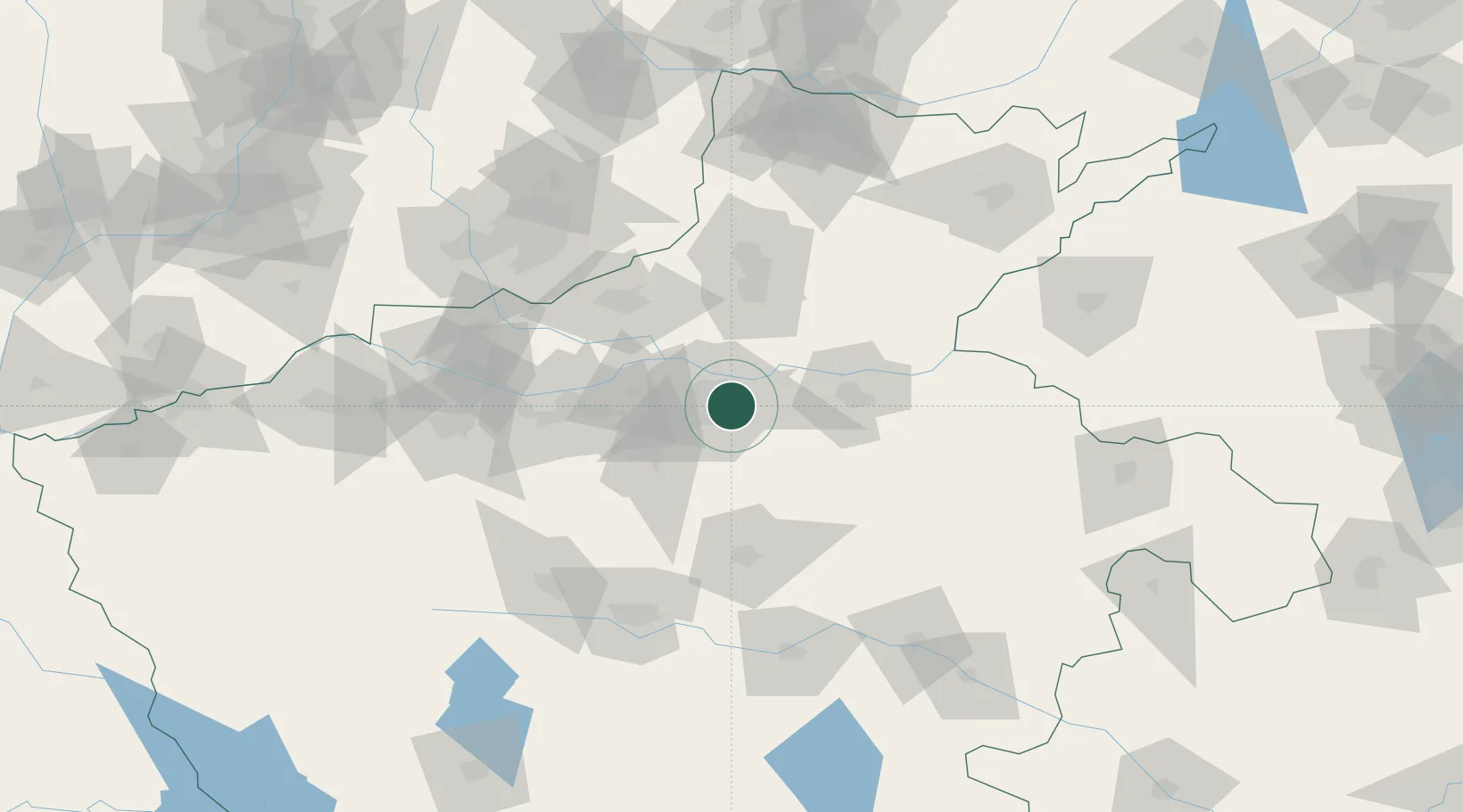
Nearby Logistics Neighbours

Cities
  1. 1Zhengzhou9 km
  2. 2Kaifeng52 km
  3. 3Dazhaoying58 km
  4. 4Xinxiang62 km
  5. 5Jiaozuo79 km
Nearest neighbours — logibook spatial index (haversine) over the source coordinates
Ports
  1. 1Hankow466 km
  2. 2Lanshan512 km
  3. 3Lianyungang519 km
  4. 4Rizhao533 km
  5. 5Nanjing549 km
Nearest neighbours — logibook spatial index (haversine) over the source coordinates
Airports
  1. 1Zhengzhou Air Base13 km
  2. 2Zhengzhou Xinzheng International Airport26 km
  3. 3Kaifeng Air Base52 km
  4. 4Luoyang Beijiao Airport126 km
  5. 5Anyang Hongqiqu Airport140 km
Nearest neighbours — logibook spatial index (haversine) over the source coordinates
Trade Zones
  1. 1Baofeng High-tech Industrial Development Zone2 km
  2. 2Jinshui High-tech Industrial Development Zone10 km
  3. 3Jiulong Industrial Park11 km
  4. 4Yiyang County Industrial Cluster11 km
  5. 5Huiji Economic Development Zone16 km
Nearest neighbours — logibook spatial index (haversine) over the source coordinates
DatabookThe Record of Consolidated Knowledge
China beyond logistics?
Browse databook

All Sources

LocationsUN/LOCODE
UN/LOCODE — free
Portsthe NGA World Port Index
Public domain (US gov)
AirportsOurAirports
Public domain
Trade Zonesthe World Bank SEZ database
CC BY 4.0
Trade ZonesOpen Zone Map
CC BY
← China locations