Diversified Zone · China
Xuchang High-tech Industrial Development Zone Active
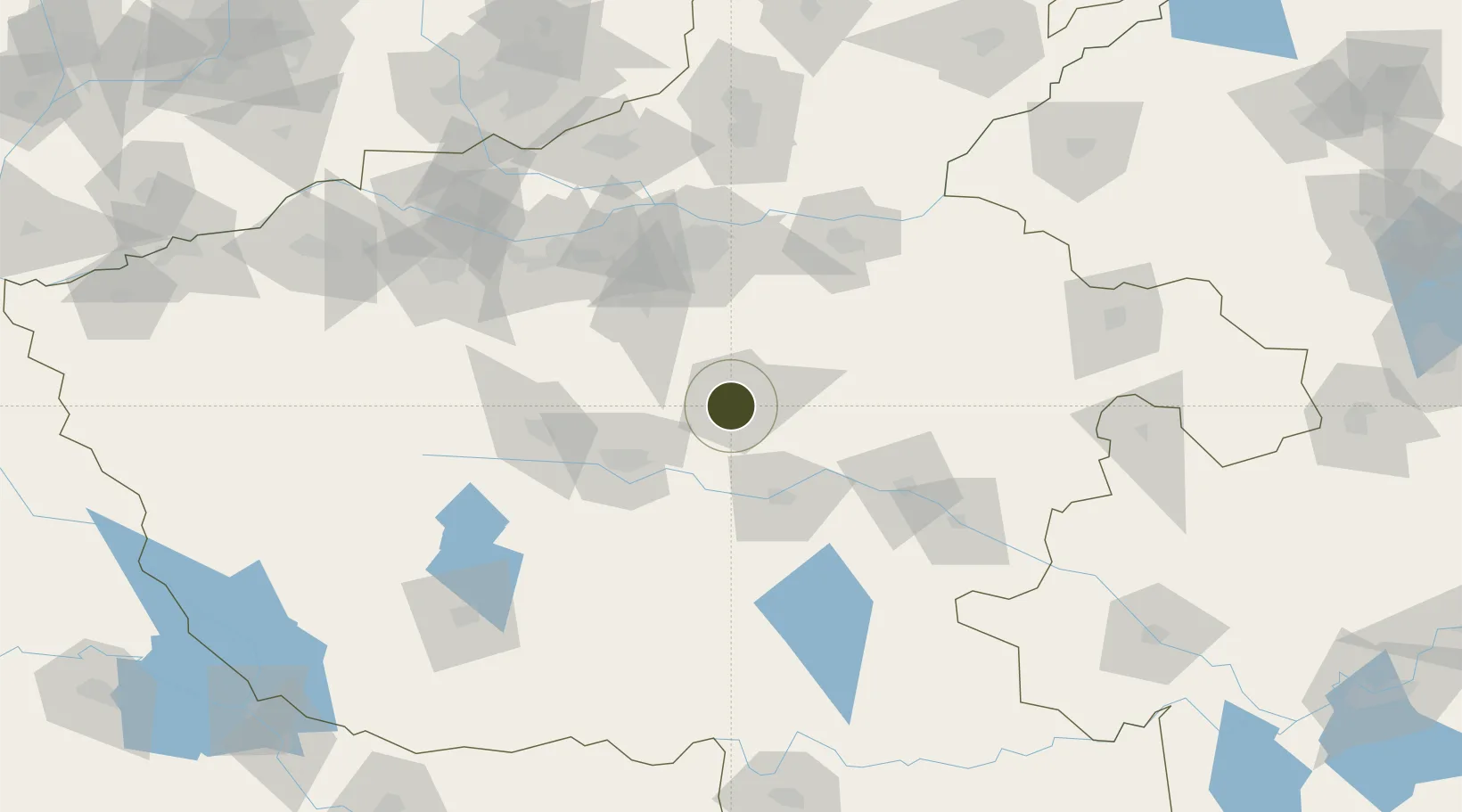
34.0094°, 113.8124°
5,950 ha
Zone area
383.5 km
Nearest port
57.6 km
Nearest airport
Gateway access
Zone profile
Zone type
Diversified Zone
Region
Henan
Status
Active
Management
Public
Operator
Management Committee of Xuchang High-tech Industrial Development Zone
Legal framework
It was established in October 1994.
Location
Nearby Logistics Neighbours
Ports
- 1Hankow384 km
- 2Nanjing508 km
- 3Lanshan522 km
- 4Lianyungang524 km
- 5Rizhao548 km
Airports
- 1Zhengzhou Xinzheng International Airport58 km
- 2Luyang Air Base92 km
- 3Zhengzhou Air Base95 km
- 4Kaifeng Air Base96 km
- 5Luoyang Beijiao Airport154 km
Cities
- 1Pingdingshan56 km
- 2Zhengzhoudong Railway Station83 km
- 3Zhengzhou85 km
- 4Zhoukou88 km
- 5Kaifeng98 km
DatabookThe Record of Consolidated Knowledge
China beyond logistics?