Free Trade Zone · China
Changge Economic and Technological Development Zone Active
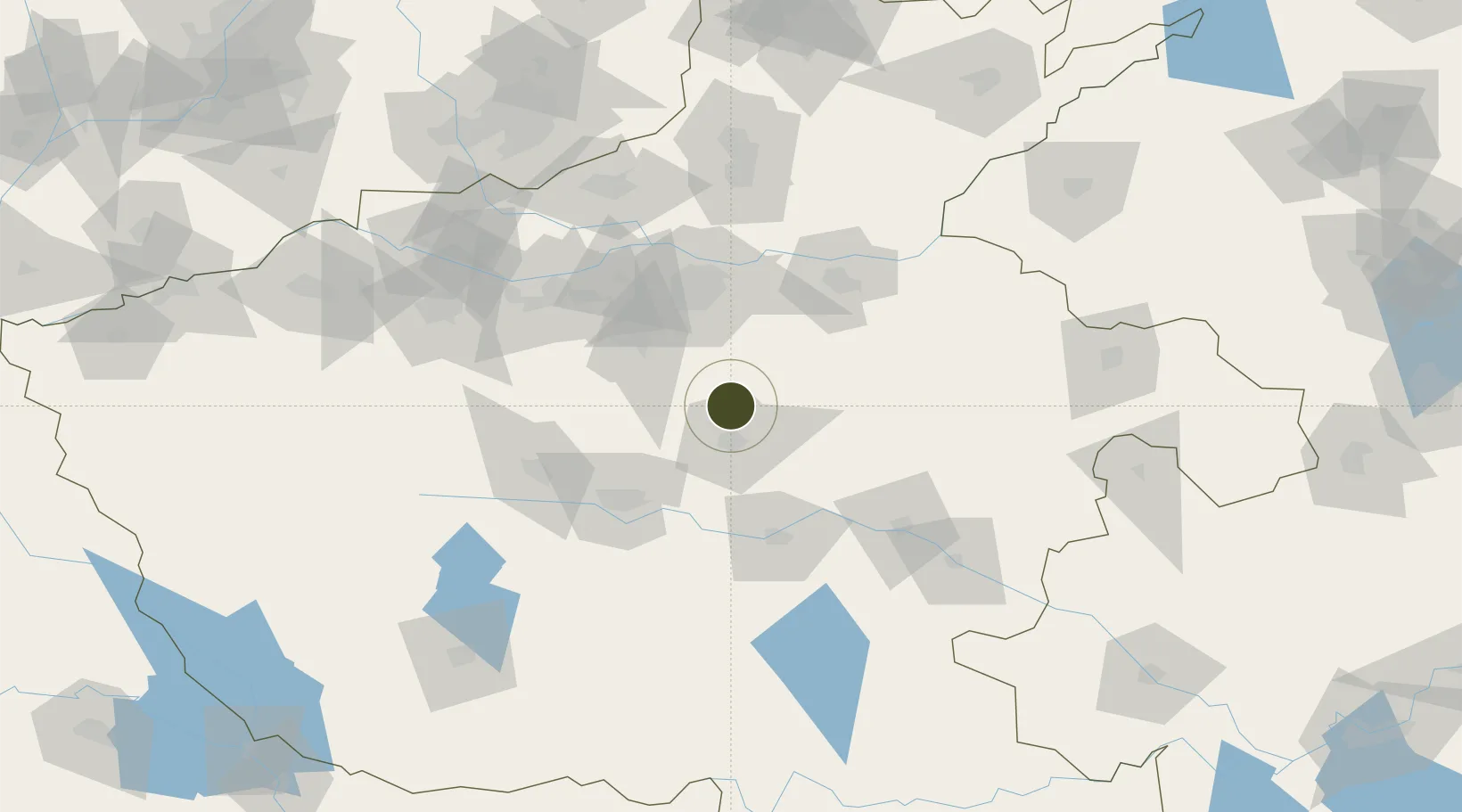
34.2008°, 113.8278°
700 ha
Zone area
404.5 km
Nearest port
36.3 km
Nearest airport
Gateway access
Zone profile
Zone type
Free Trade Zone
Region
Henan
Status
Active
Management
Public
Operator
Working Committee of Changge Economic and Technological Development Zone
Legal framework
Zhengxu Integrated Development Plan (2019-2035)
Location
Nearby Logistics Neighbours
Ports
- 1Hankow405 km
- 2Nanjing515 km
- 3Lanshan516 km
- 4Lianyungang519 km
- 5Rizhao540 km
Airports
- 1Zhengzhou Xinzheng International Airport36 km
- 2Zhengzhou Air Base74 km
- 3Kaifeng Air Base77 km
- 4Luyang Air Base104 km
- 5Luoyang Beijiao Airport145 km
Cities
- 1Zhengzhoudong Railway Station61 km
- 2Zhengzhou65 km
- 3Pingdingshan71 km
- 4Kaifeng80 km
- 5Zhoukou99 km
DatabookThe Record of Consolidated Knowledge
China beyond logistics?