Medium airport · China

Luyang Air BaseCN-0097

33.6854°, 112.8905°
469 ft
Elevation

Runway & Layout

Luyang Air Base runway & taxiway layout
Runway & taxiway layout — OpenStreetMap (ODbL) / OurAirports

Airport Specifications

Airport class
Medium airport
OurAirports
Scheduled service
No
OurAirports
Served city
Xuchang (Pingdingshan)
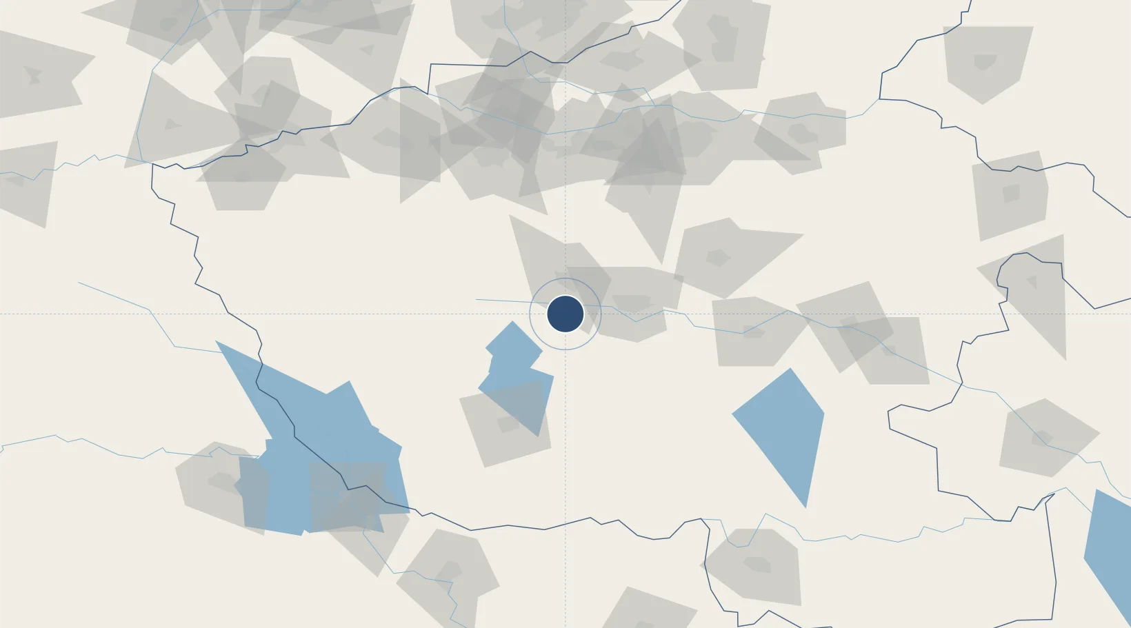
OurAirports

Location

Location of CN-0097
Natural Earth 10m (public domain) · Henan · CN-0097 · 33.69, 112.89GoogleOSMYandex

Nearby Logistics Neighbours

Airports
  1. 1Nanyang Jiangying Airport82 km
  2. 2Luoyang Beijiao Airport126 km
  3. 3Zhengzhou Xinzheng International Airport129 km
  4. 4Zhengzhou Air Base152 km
  5. 5Xinyang Minggang Airport169 km
Nearest neighbours — logibook spatial index (haversine) over the source coordinates
Cities
  1. 1Pingdingshan38 km
  2. 2Nanyang83 km
  3. 3Luoyang121 km
  4. 4Huangbu132 km
  5. 5Zhengzhou140 km
Nearest neighbours — logibook spatial index (haversine) over the source coordinates
Ports
  1. 1Hankow369 km
  2. 2Nanjing575 km
  3. 3Lanshan614 km
  4. 4Lianyungang614 km
  5. 5Yangzhou630 km
Nearest neighbours — logibook spatial index (haversine) over the source coordinates
Trade Zones
  1. 1Shilong Industrial Cluster Area24 km
  2. 2Pingxin Industrial Cluster25 km
  3. 3Ruzhou Industrial Cluster45 km
  4. 4Yexian Industrial Cluster46 km
  5. 5Fangcheng County Industrial Cluster52 km
Nearest neighbours — logibook spatial index (haversine) over the source coordinates
DatabookThe Record of Consolidated Knowledge
China beyond logistics?
Browse databook

All Sources

AirportsOurAirports
Public domain
Portsthe NGA World Port Index
Public domain (US gov)
LocationsUN/LOCODE
UN/LOCODE — free
Trade Zonesthe World Bank SEZ database
CC BY 4.0
Trade ZonesOpen Zone Map
CC BY
InfrastructureOpenStreetMap
ODbL 1.0
← China airports