Diversified Zone · China

Fugou County Industrial Cluster Active
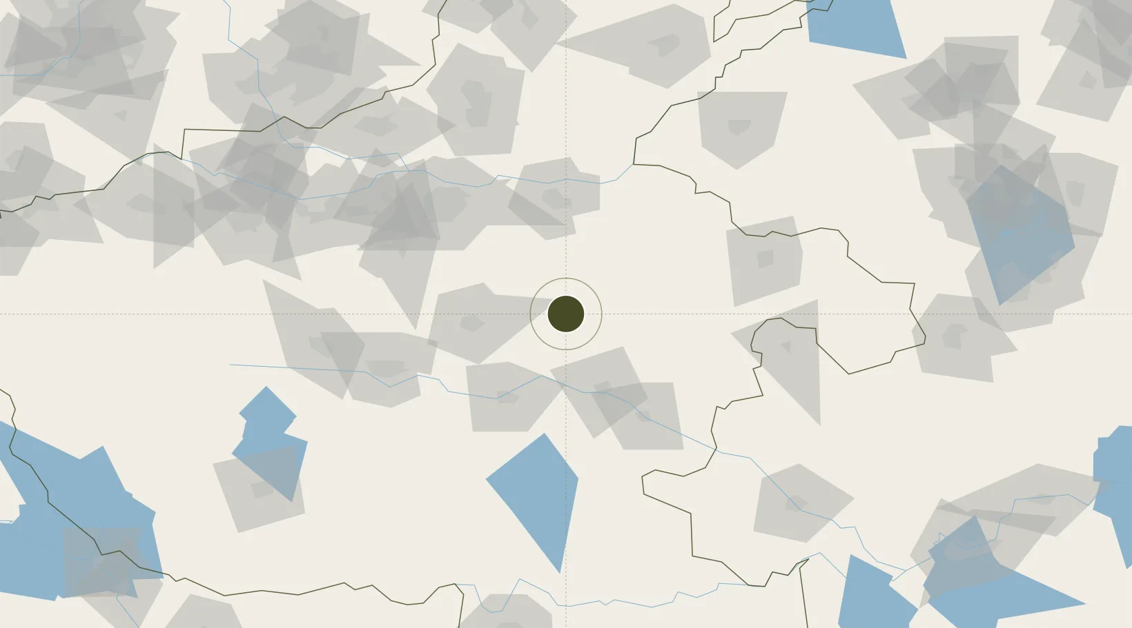
34.0899°, 114.4168°
920 ha
Zone area
390.1 km
Nearest port
71.2 km
Nearest airport

Gateway access

Nearest neighbours — logibook spatial index (haversine) over the source coordinates

Zone profile

Zone type
Diversified Zone
Open Zone Map
Region
Henan
Open Zone Map
Status
Active
Open Zone Map
Management
Public
Open Zone Map
Operator
Working Committee of Fugou County Industrial Cluster
Open Zone Map
Legal framework
Overall Urban and Rural Planning of Fugou County (2014-2030)
Open Zone Map

Location

Location of ozm-652
Natural Earth 10m (public domain) · Henan · ozm-652 · 34.09, 114.42GoogleOSMYandex

Nearby Logistics Neighbours

Ports
  1. 1Hankow390 km
  2. 2Nanjing461 km
  3. 3Lanshan466 km
  4. 4Lianyungang467 km
  5. 5Rizhao492 km
Nearest neighbours — logibook spatial index (haversine) over the source coordinates
Airports
  1. 1Zhengzhou Xinzheng International Airport71 km
  2. 2Kaifeng Air Base74 km
  3. 3Shangqiu Air Base104 km
  4. 4Zhengzhou Air Base106 km
  5. 5Luyang Air Base148 km
Nearest neighbours — logibook spatial index (haversine) over the source coordinates
Cities
  1. 1Zhoukou56 km
  2. 2Kaifeng78 km
  3. 3Zhengzhoudong Railway Station95 km
  4. 4Zhengzhou102 km
  5. 5Huangbu105 km
Nearest neighbours — logibook spatial index (haversine) over the source coordinates
Trade Zones
  1. 1Luyi County Industrial Cluster18 km
  2. 2Zhengyang County Industrial Cluster18 km
  3. 3Taikang County Industrial Cluster39 km
  4. 4Lushi County Industrial Cluster51 km
  5. 5Changge Economic and Technological Development Zone56 km
Nearest neighbours — logibook spatial index (haversine) over the source coordinates
DatabookThe Record of Consolidated Knowledge
China beyond logistics?
Browse databook

All Sources

Trade ZonesOpen Zone Map
CC BY
Portsthe NGA World Port Index
Public domain (US gov)
AirportsOurAirports
Public domain
LocationsUN/LOCODE
UN/LOCODE — free
← China trade zones