Transport Functions
Multimodal
Hub Profile
Place type
Provincial seat
Region
Henan
Population
505,171
Time zone
Asia/Shanghai
Elevation
54 m
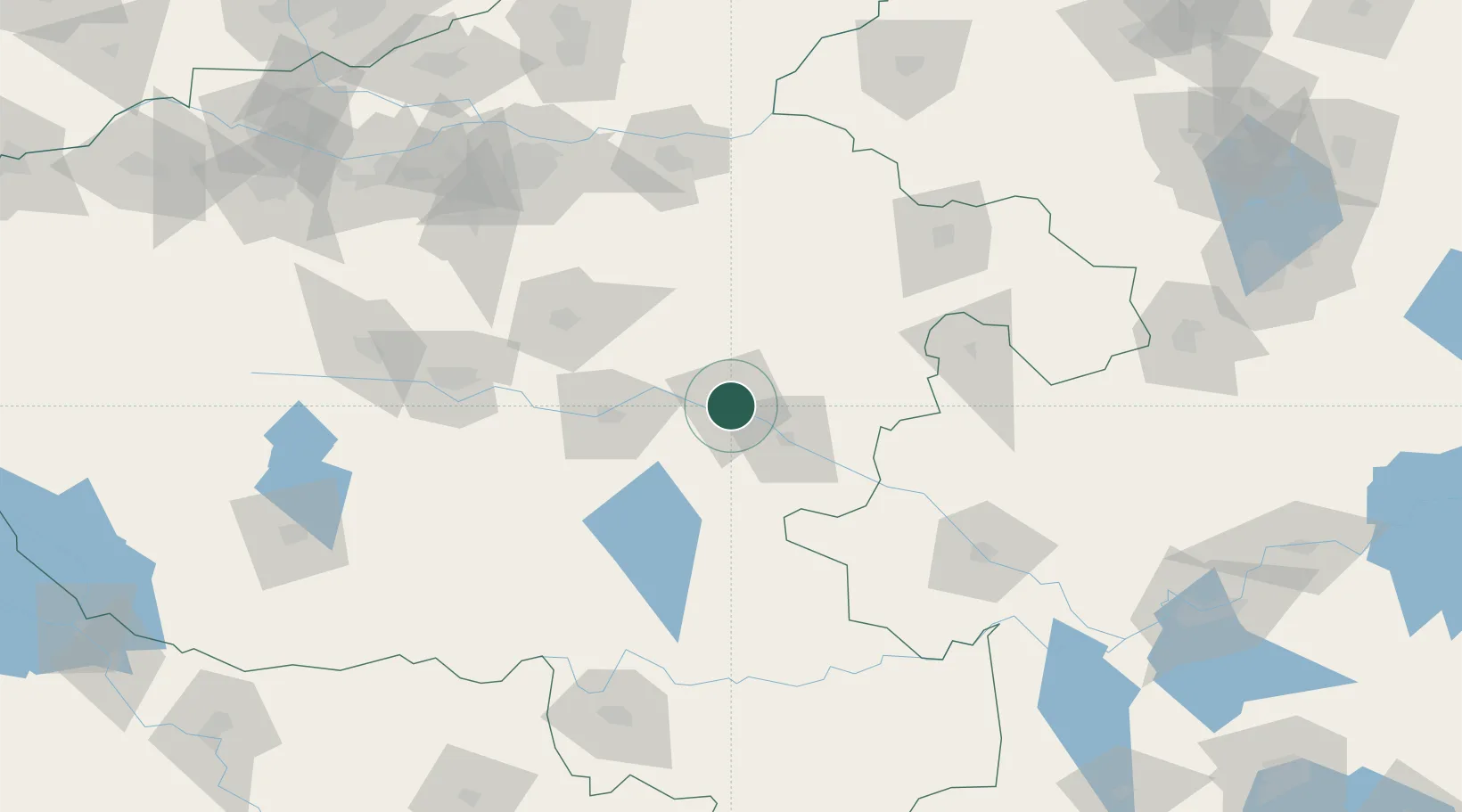
Location
Nearby Logistics Neighbours
Cities
- 1Huangbu66 km
- 2Pingdingshan124 km
- 3Kaifeng133 km
- 4Zhengzhoudong Railway Station149 km
- 5Zhengzhou156 km
Ports
- 1Hankow339 km
- 2Nanjing421 km
- 3Lianyungang460 km
- 4Lanshan464 km
- 5Yangzhou472 km
Airports
- 1Shangqiu Air Base120 km
- 2Zhengzhou Xinzheng International Airport124 km
- 3Kaifeng Air Base129 km
- 4Xinyang Minggang Airport130 km
- 5Fuyang Xiguan Airport131 km
DatabookThe Record of Consolidated Knowledge
China beyond logistics?