Diversified Zone · China
Lushi County Industrial Cluster Active
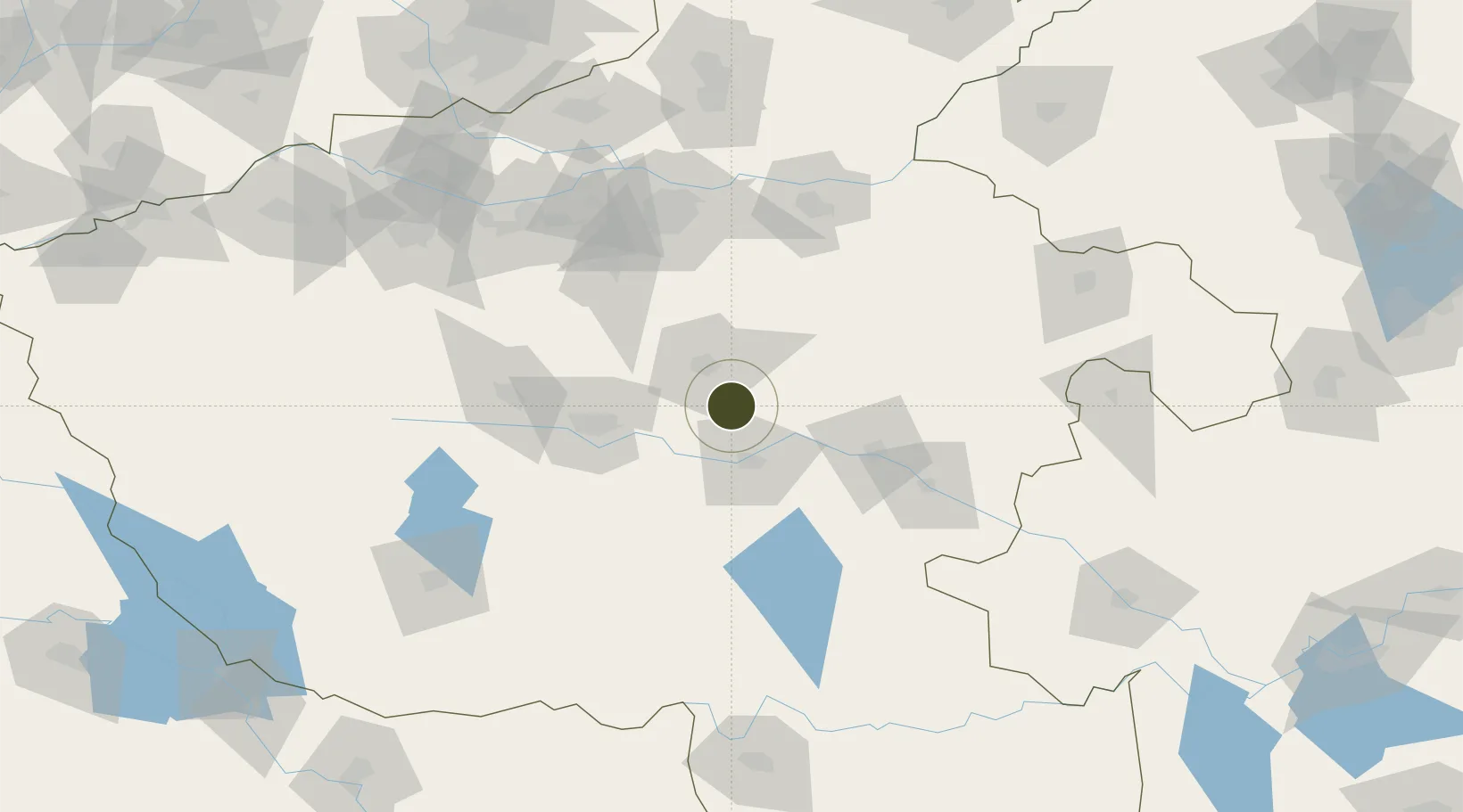
33.8374°, 113.9609°
320 ha
Zone area
363.1 km
Nearest port
77.3 km
Nearest airport
Gateway access
Zone profile
Zone type
Diversified Zone
Region
Henan
Status
Active
Management
Public
Operator
Lushi County Industrial Cluster Management Committee
Legal framework
It was built in September 2008
Location
Nearby Logistics Neighbours
Ports
- 1Hankow363 km
- 2Nanjing488 km
- 3Lianyungang514 km
- 4Lanshan514 km
- 5Yangzhou539 km
Airports
- 1Zhengzhou Xinzheng International Airport77 km
- 2Luyang Air Base100 km
- 3Kaifeng Air Base108 km
- 4Zhengzhou Air Base116 km
- 5Xinyang Minggang Airport145 km
Cities
- 1Pingdingshan62 km
- 2Zhoukou67 km
- 3Huangbu77 km
- 4Zhengzhoudong Railway Station103 km
- 5Zhengzhou107 km
DatabookThe Record of Consolidated Knowledge
China beyond logistics?