Large airport · China

Zhengzhou Xinzheng International AirportZHCC
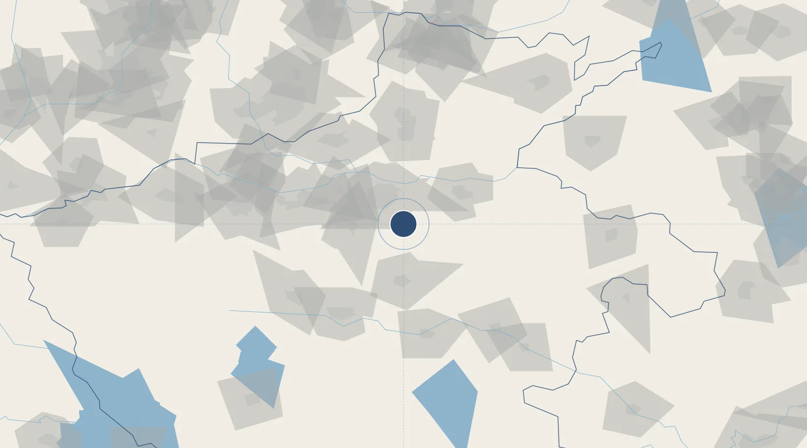
34.5265°, 113.8492°
11,811 ft
Longest runway
2
Runways
495 ft
Elevation

Runway & Layout

Zhengzhou Xinzheng International Airport runway & taxiway layout
Runway & taxiway layout — OpenStreetMap (ODbL) / OurAirports

Radio Frequencies

ATIS
128.45 MHz
TWR
130 MHz
ZHENGZHOU TWR
GND
121.75 MHz
ZHENGZHOU GND
OurAirports

Navaids

CGO VOR-DME Zhengzhou 114.50 MHz
JG NDB Xinzheng 256 kHz
KV NDB Xinzheng 256 kHz
OurAirports

Runways · 2

RunwayDimensions SurfaceTrue headingLit
12L/30R 11,811 × 197ft 116°
12R/30L 11,155 × 148ft Asphalt 112°
OurAirports

Airport Specifications

IATA code
CGO
OurAirports
ICAO code
ZHCC
OurAirports
Airport class
Large airport
OurAirports
Scheduled service
Yes
OurAirports
Served city
Zhengzhou
OurAirports

Location

Location of ZHCC
Natural Earth 10m (public domain) · Henan · ZHCC · 34.53, 113.85GoogleOSMYandex

Nearby Logistics Neighbours

Airports
  1. 1Zhengzhou Air Base39 km
  2. 2Kaifeng Air Base52 km
  3. 3Luyang Air Base129 km
  4. 4Luoyang Beijiao Airport136 km
  5. 5Shangqiu Air Base148 km
Nearest neighbours — logibook spatial index (haversine) over the source coordinates
Cities
  1. 1Zhengzhoudong Railway Station26 km
  2. 2Zhengzhou32 km
  3. 3Kaifeng53 km
  4. 4Dazhaoying83 km
  5. 5Xinxiang86 km
Nearest neighbours — logibook spatial index (haversine) over the source coordinates
Ports
  1. 1Hankow440 km
  2. 2Lanshan507 km
  3. 3Lianyungang513 km
  4. 4Rizhao530 km
  5. 5Nanjing530 km
Nearest neighbours — logibook spatial index (haversine) over the source coordinates
Trade Zones
  1. 1Jiulong Industrial Park17 km
  2. 2Zhongmu Automobile Industry Cluster24 km
  3. 3Baofeng High-tech Industrial Development Zone26 km
  4. 4Jinshui High-tech Industrial Development Zone33 km
  5. 5Mazhai Industrial Cluster36 km
Nearest neighbours — logibook spatial index (haversine) over the source coordinates
DatabookThe Record of Consolidated Knowledge
China beyond logistics?
Browse databook

All Sources

AirportsOurAirports
Public domain
Portsthe NGA World Port Index
Public domain (US gov)
LocationsUN/LOCODE
UN/LOCODE — free
Trade Zonesthe World Bank SEZ database
CC BY 4.0
Trade ZonesOpen Zone Map
CC BY
InfrastructureOpenStreetMap
ODbL 1.0
← China airports