Seaport · China
LianyungangCNLYG
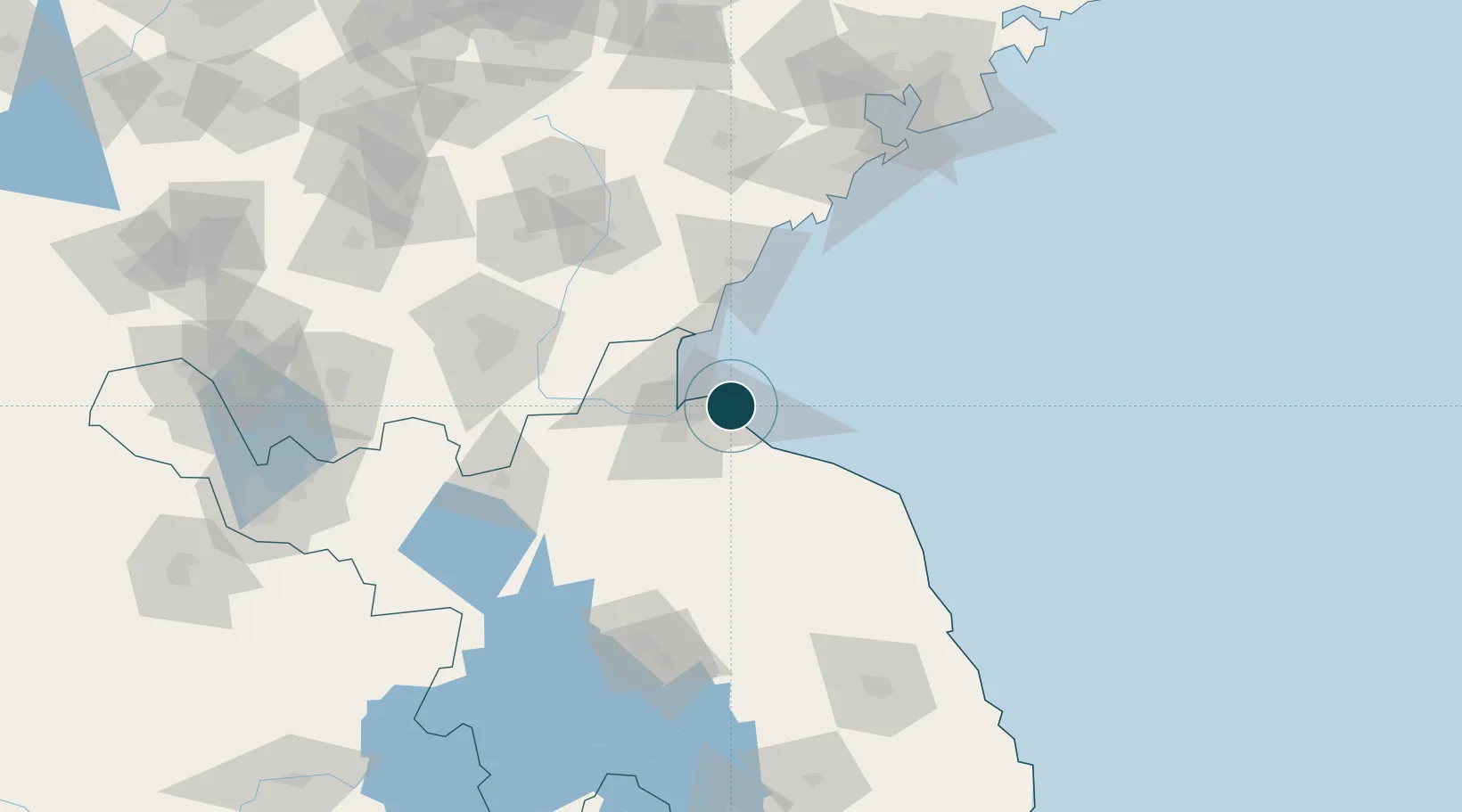
34.7333°, 119.4500°
15.5 m
Channel depth
2
Container terminals
209.7
Port liner connectivity
Channel & Berth Profile
Pilotage, Tugs & Services
Pilotage compulsoryYES
Pilotage availableYES
Pilotage advisableYES
Tug assistanceYES
Potable waterYES
Diesel bunkersYES
MedicalYES
Facilities & Capabilities
Container—
Ro-Ro—
Liquid bulk—
Dry bulk—
Oil terminal—
Break bulk—
Dry dock—
RepairsNO
BunkeringYES
Rail linkYES
Dangerous cargo—
ISPS security—
Harbour Specifications
Harbour size
Small
Harbour type
Coastal (Breakwater)
Shelter
Fair
Water body
Yellow Sea; North Pacific Ocean
Tidal range
5 m
Pilotage
Yes
Liner Connectivity
209.7
PLSCI
Port Liner Shipping Connectivity Index for Lianyungang, as published by UNCTAD for the latest available quarter. Higher values indicate stronger scheduled liner-shipping integration.
Shown relative to the highest per-port PLSCI in the dataset (1,657.9).
Location
Container Terminals · 2
LIANYUNGANG NEW ORIENTAL INTERNATIONAL CONTAINER TERMINAL
LNOCT
LYG-PSA CONTAINER TERMINAL
LPCT LYG-PSA CONTAINER TERMINAL CO., LTD.
Nearby Logistics Neighbours
Ports
- 1Lanshan39 km
- 2Rizhao73 km
- 3Qingdao Gang162 km
- 4Yangzhou274 km
- 5Gaogang275 km
Cities
- 1Lanshan Pt38 km
- 2Rizhao66 km
- 3Baimao84 km
- 4Dongjiangkou99 km
- 5Dongjiakou101 km
Airports
- 1Lianyungang Huaguoshan International Airport43 km
- 2Rizhao Shanzihe Airport76 km
- 3Linyi Qiyang Airport101 km
- 4Huai'an Lianshui Airport109 km
- 5Zhucheng Air Base144 km
DatabookThe Record of Consolidated Knowledge
China beyond logistics?