Transport Functions
Rail
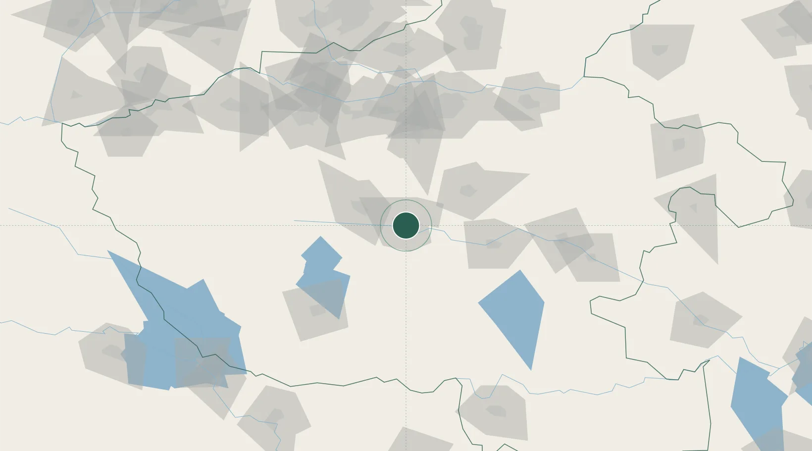
Hub Profile
Place type
Provincial seat
Region
Henan
Population
979,130
Time zone
Asia/Shanghai
Elevation
82 m
Location
Nearby Logistics Neighbours
Cities
- 1Huangbu102 km
- 2Nanyang108 km
- 3Zhengzhou120 km
- 4Zhengzhoudong Railway Station121 km
- 5Zhoukou124 km
Ports
- 1Hankow362 km
- 2Nanjing541 km
- 3Lianyungang576 km
- 4Lanshan576 km
- 5Yangzhou595 km
Airports
- 1Luyang Air Base38 km
- 2Zhengzhou Xinzheng International Airport102 km
- 3Nanyang Jiangying Airport105 km
- 4Zhengzhou Air Base132 km
- 5Luoyang Beijiao Airport140 km
Trade Zones
DatabookThe Record of Consolidated Knowledge
China beyond logistics?