Transport Functions
Multimodal
Hub Profile
Place type
Provincial seat
Region
Hebei
Population
527,681
Time zone
Asia/Shanghai
Elevation
15 m
Logistics facilities
1
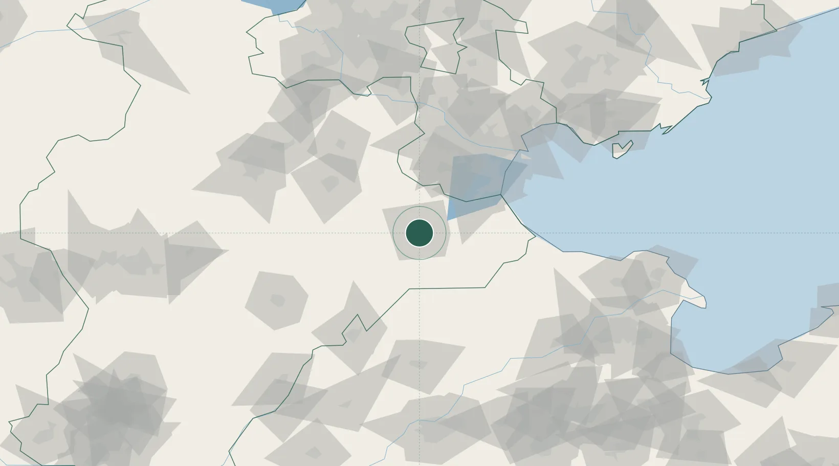
Location
Nearby Logistics Neighbours
Cities
- 1Huanghua Pt43 km
- 2Jinghai, Tianjing67 km
- 3Leling70 km
- 4Xiqing , Tianjing86 km
- 5Dongli ,Tianjing95 km
Ports
- 1Tianjin Xin Gang112 km
- 2Tangshan (Jingtang)212 km
- 3Qinhuangdao299 km
- 4Longkou Gang309 km
- 5Penglai351 km
Airports
- 1Cangxian Air Base13 km
- 2Tangguantun Air Base56 km
- 3Tianjin Binhai International Airport101 km
- 4Jiugucheng Air Base111 km
- 5Yangcun Air Base121 km
DatabookThe Record of Consolidated Knowledge
China beyond logistics?