Medium airport · China

Beijing Nanjiao AirportCN-0188
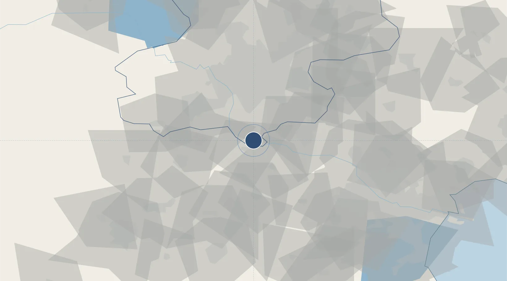
39.4828°, 116.3723°
12,467 ft
Longest runway
1
Runways

Runway & Layout

Beijing Nanjiao Airport runway & taxiway layout
Runway & taxiway layout — OpenStreetMap (ODbL) / OurAirports

Runways · 1

RunwayDimensions SurfaceTrue headingLit
18/36 12,467 × —ft Asphalt
OurAirports

Airport Specifications

ICAO code
ZBNJ
OurAirports
Airport class
Medium airport
OurAirports
Scheduled service
No
OurAirports
Runway surface
Asphalt
OurAirports
Served city
Beijing
OurAirports

Location

Location of CN-0188
Natural Earth 10m (public domain) · Beijing · CN-0188 · 39.48, 116.37GoogleOSMYandex

Nearby Logistics Neighbours

Airports
  1. 1Beijing Daxing International Airport4 km
  2. 2Liangxiangzhen Air Base37 km
  3. 3Beijing Tongxian Air Base47 km
  4. 4Beijing Xijiao Airport54 km
  5. 5Beijing Xijiao Airport54 km
Nearest neighbours — logibook spatial index (haversine) over the source coordinates
Cities
  1. 1Daxing4 km
  2. 2Langfang28 km
  3. 3Xiangyang30 km
  4. 4Yizhuang37 km
  5. 5Wuqing41 km
Nearest neighbours — logibook spatial index (haversine) over the source coordinates
Ports
  1. 1Tianjin Xin Gang138 km
  2. 2Tangshan (Jingtang)230 km
  3. 3Qinhuangdao282 km
  4. 4Longkou Gang397 km
  5. 5Huludao Gang415 km
Nearest neighbours — logibook spatial index (haversine) over the source coordinates
DatabookThe Record of Consolidated Knowledge
China beyond logistics?
Browse databook

All Sources

AirportsOurAirports
Public domain
Portsthe NGA World Port Index
Public domain (US gov)
LocationsUN/LOCODE
UN/LOCODE — free
Trade Zonesthe World Bank SEZ database
CC BY 4.0
Trade ZonesOpen Zone Map
CC BY
InfrastructureOpenStreetMap
ODbL 1.0
← China airports