Diversified Zone · China

Renqiu Economic Development Zone Active
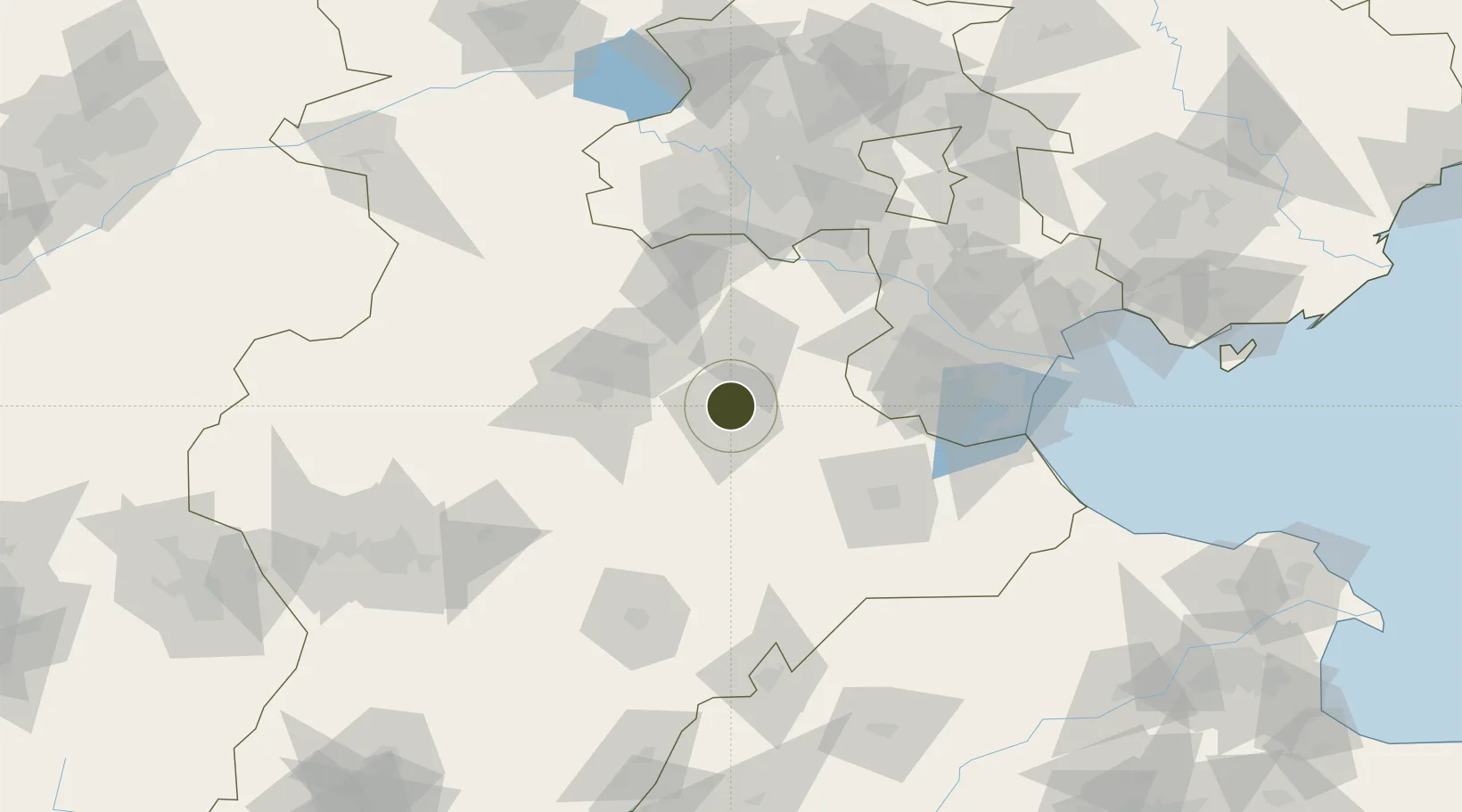
38.7544°, 116.1336°
609 ha
Zone area
149.1 km
Nearest port
79.6 km
Nearest airport

Gateway access

Nearest neighbours — logibook spatial index (haversine) over the source coordinates

Zone profile

Zone type
Diversified Zone
Open Zone Map
Region
Hebei
Open Zone Map
Status
Active
Open Zone Map
Management
Public
Open Zone Map
Operator
Management Committee of Hebei Renqiu Economic Development Zone
Open Zone Map
Legal framework
Unavailable
Open Zone Map

Location

Location of ozm-572
Natural Earth 10m (public domain) · Hebei · ozm-572 · 38.75, 116.13GoogleOSMYandex

Nearby Logistics Neighbours

Ports
  1. 1Tianjin Xin Gang149 km
  2. 2Tangshan (Jingtang)254 km
  3. 3Qinhuangdao327 km
  4. 4Longkou Gang383 km
  5. 5Penglai423 km
Nearest neighbours — logibook spatial index (haversine) over the source coordinates
Airports
  1. 1Cangxian Air Base80 km
  2. 2Tangguantun Air Base81 km
  3. 3Beijing Nanjiao Airport84 km
  4. 4Beijing Daxing International Airport87 km
  5. 5Yangcun Air Base108 km
Nearest neighbours — logibook spatial index (haversine) over the source coordinates
Cities
  1. 1Baoding56 km
  2. 2Jinghai, Tianjing71 km
  3. 3Cangzhou81 km
  4. 4Xiqing , Tianjing84 km
  5. 5Daxing86 km
Nearest neighbours — logibook spatial index (haversine) over the source coordinates
Trade Zones
  1. 1Dacheng Economic Development Zone30 km
  2. 2Wenan Economic Development Zone34 km
  3. 3Suning Economic Development Zone42 km
  4. 4Bazhou Economic Development Zone48 km
  5. 5Baoding Economic Development Zone58 km
Nearest neighbours — logibook spatial index (haversine) over the source coordinates
DatabookThe Record of Consolidated Knowledge
China beyond logistics?
Browse databook

All Sources

Trade ZonesOpen Zone Map
CC BY
Portsthe NGA World Port Index
Public domain (US gov)
AirportsOurAirports
Public domain
LocationsUN/LOCODE
UN/LOCODE — free
← China trade zones