Large airport · China
Beijing Daxing International AirportZBAD
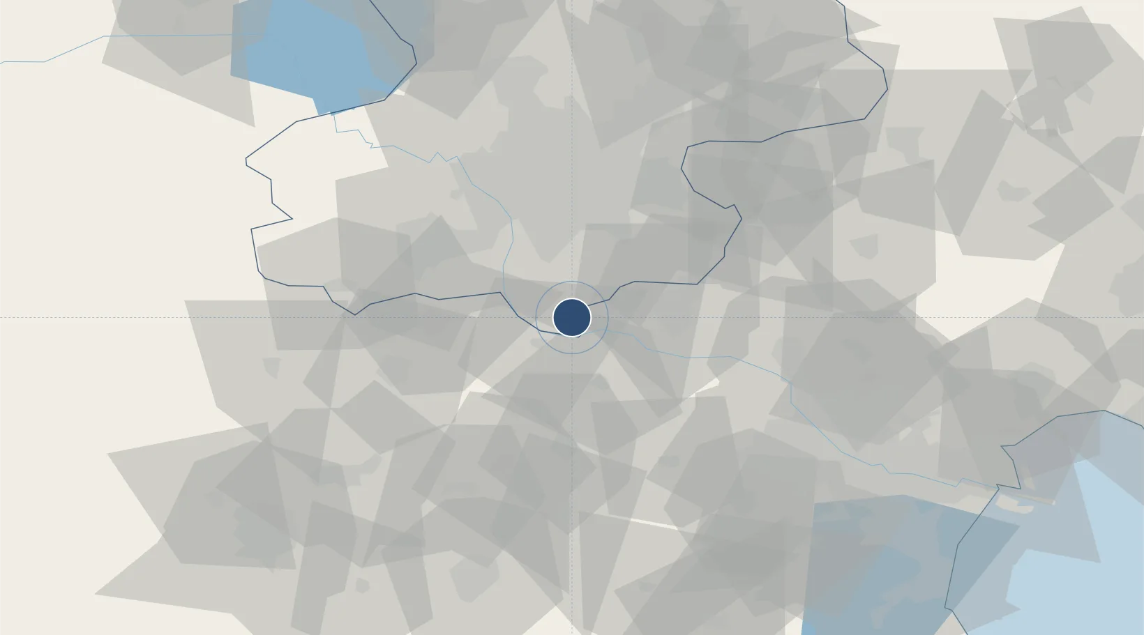
39.5013°, 116.4140°
12,467 ft
Longest runway
4
Runways
98 ft
Elevation
Runway & Layout

Radio Frequencies
AP01
126.1 MHz
AP02
119 MHz
AP03
126.5 MHz
APN01
122.25 MHz
APN02
122.7 MHz
ATIS-I
127.225 MHz
ATIS arrival
ATIS-O
128.4 MHz
ATIS departure
GND01
121.975 MHz
GND02
121.625 MHz
TWR01
118.825 MHz
TWR02
118.375 MHz
Runways · 4
| Runway | Dimensions | Surface | True heading | Lit |
|---|---|---|---|---|
| 11L/29R | 12,467 × 197ft | Concrete | 103° | ✓ |
| 17L/35R | 12,467 × 197ft | Concrete | 173° | ✓ |
| 17R/35L | 12,467 × 148ft | Concrete | 173° | ✓ |
| 01L/19R | 11,155 × 197ft | Concrete | 353° | ✓ |
Airport Specifications
IATA code
PKX
ICAO code
ZBAD
Airport class
Large airport
Scheduled service
Yes
Runway surface
Concrete
Served city
Beijing
Location
Nearby Logistics Neighbours
Airports
- 1Beijing Nanjiao Airport4 km
- 2Liangxiangzhen Air Base38 km
- 3Beijing Tongxian Air Base43 km
- 4Beijing Xijiao Airport53 km
- 5Beijing Xijiao Airport53 km
Ports
- 1Tianjin Xin Gang136 km
- 2Tangshan (Jingtang)226 km
- 3Qinhuangdao278 km
- 4Longkou Gang395 km
- 5Huludao Gang411 km
DatabookThe Record of Consolidated Knowledge
China beyond logistics?