UN/LOCODE hub · China
CNXQN

Xiqing , Tianjing

39.0667°, 117.0167°
2
Transport functions

Transport Functions

Road
Multimodal
UN/LOCODE

Hub Profile

Region
TJ
GeoNames

Location

Location of CNXQN
Natural Earth 10m (public domain) · TJ · CNXQN · 39.07, 117.02GoogleOSMYandex

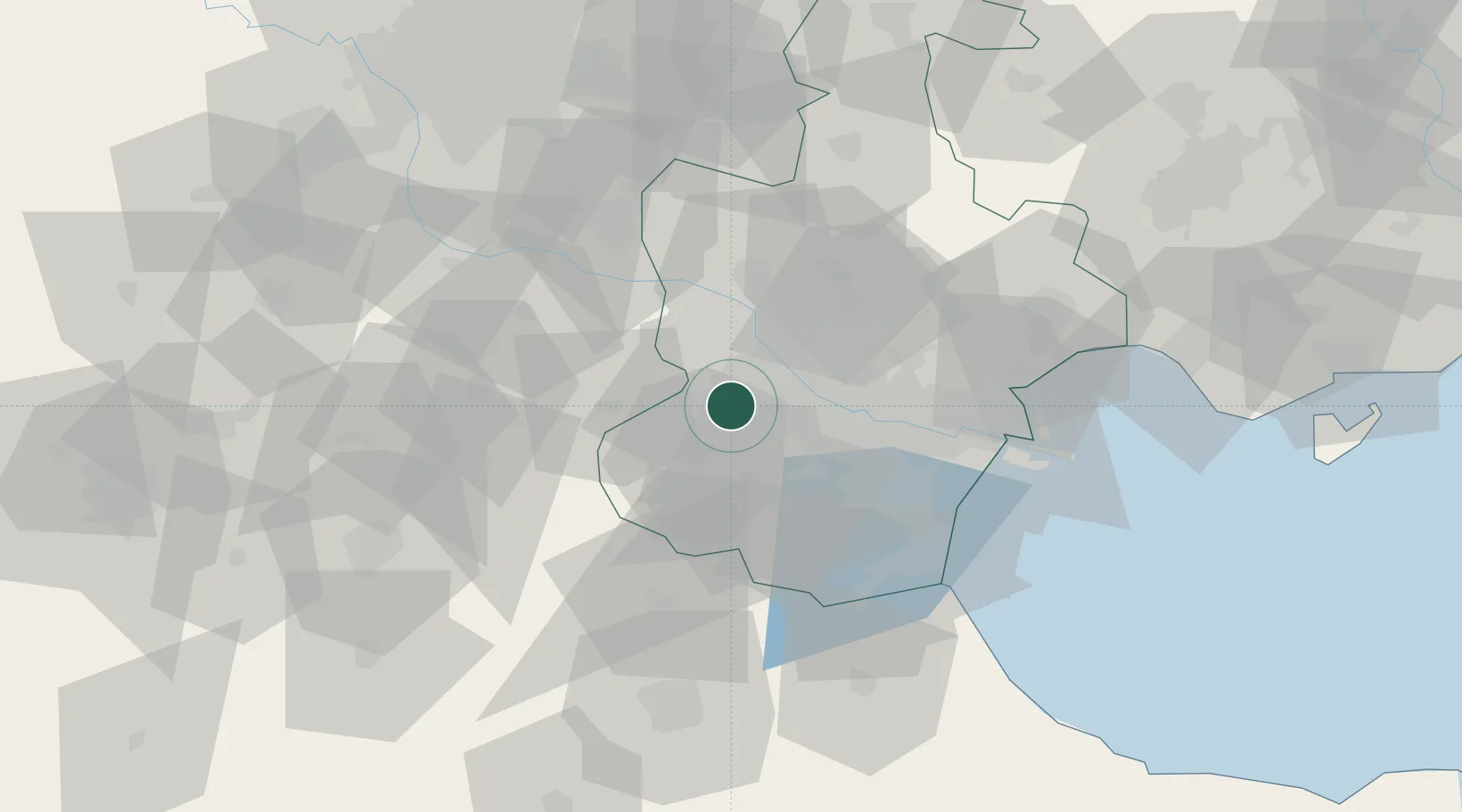
Nearby Logistics Neighbours

Cities
  1. 1Heping18 km
  2. 2Jinghai, Tianjing20 km
  3. 3Dongli ,Tianjing25 km
  4. 4Wuqing52 km
  5. 5Tanggu55 km
Nearest neighbours — logibook spatial index (haversine) over the source coordinates
Ports
  1. 1Tianjin Xin Gang71 km
  2. 2Tangshan (Jingtang)173 km
  3. 3Qinhuangdao243 km
  4. 4Longkou Gang326 km
  5. 5Penglai360 km
Nearest neighbours — logibook spatial index (haversine) over the source coordinates
Airports
  1. 1Tianjin Binhai International Airport29 km
  2. 2Tangguantun Air Base32 km
  3. 3Yangcun Air Base35 km
  4. 4Beijing Daxing International Airport71 km
  5. 5Beijing Nanjiao Airport72 km
Nearest neighbours — logibook spatial index (haversine) over the source coordinates
Trade Zones
  1. 1Zhongbei Industrial Park7 km
  2. 2Shuangkou Industrial Park20 km
  3. 3Daqiuzhuang Industrial Zone24 km
  4. 4Fengxiang High-tech Industrial Development Zone31 km
  5. 5Langfang High-tech Industrial Development Zone33 km
Nearest neighbours — logibook spatial index (haversine) over the source coordinates
DatabookThe Record of Consolidated Knowledge
China beyond logistics?
Browse databook

All Sources

LocationsUN/LOCODE
UN/LOCODE — free
Portsthe NGA World Port Index
Public domain (US gov)
AirportsOurAirports
Public domain
Trade Zonesthe World Bank SEZ database
CC BY 4.0
Trade ZonesOpen Zone Map
CC BY
← China locations