Diversified Zone · China
Bazhou Economic Development Zone Active
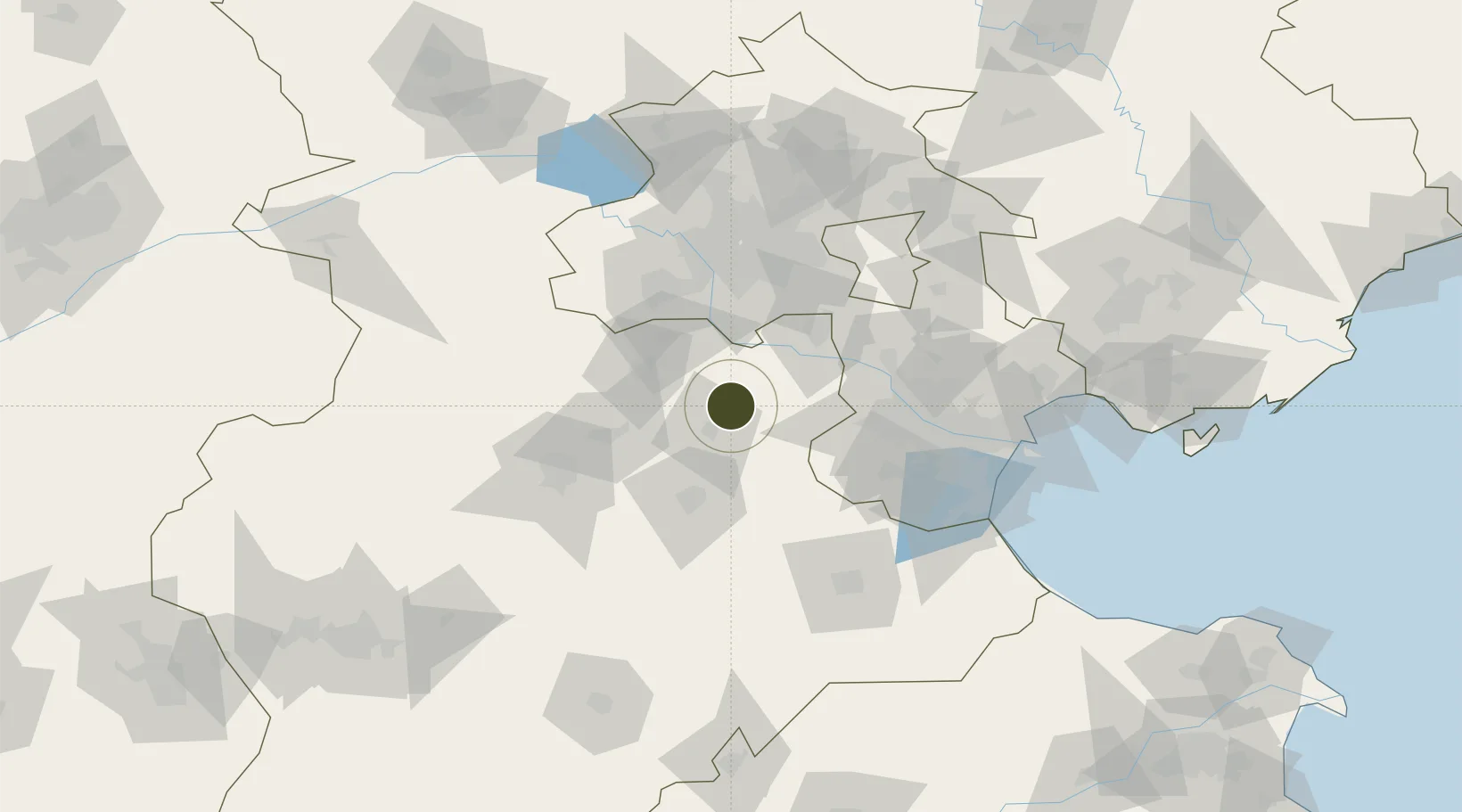
39.1602°, 116.3112°
1,630 ha
Zone area
133.2 km
Nearest port
36.3 km
Nearest airport
Gateway access
Zone profile
Zone type
Diversified Zone
Region
Hebei
Status
Active
Management
Public
Operator
Management Committee of Bazhou Economic Development Zone
Legal framework
Bazhou Economic Development Zone is a provincial development zone and a provincial high-tech industrial park approved by Hebei Provincial government in 1992.
Location
Nearby Logistics Neighbours
Ports
- 1Tianjin Xin Gang133 km
- 2Tangshan (Jingtang)233 km
- 3Qinhuangdao296 km
- 4Longkou Gang386 km
- 5Penglai421 km
Airports
- 1Beijing Nanjiao Airport36 km
- 2Beijing Daxing International Airport39 km
- 3Liangxiangzhen Air Base68 km
- 4Yangcun Air Base72 km
- 5Tangguantun Air Base78 km
Cities
- 1Daxing39 km
- 2Xiangyang48 km
- 3Langfang52 km
- 4Wuqing61 km
- 5Jinghai, Tianjing61 km
DatabookThe Record of Consolidated Knowledge
China beyond logistics?