Diversified Zone · China

Baoding Economic Development Zone Active
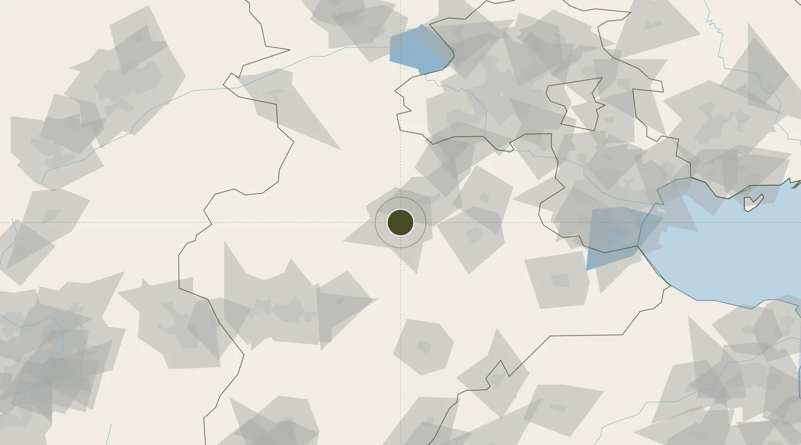
38.8252°, 115.4742°
1,812 ha
Zone area
204.8 km
Nearest port
90.7 km
Nearest airport

Gateway access

Nearest neighbours — logibook spatial index (haversine) over the source coordinates

Zone profile

Zone type
Diversified Zone
Open Zone Map
Region
Hebei
Open Zone Map
Status
Active
Open Zone Map
Management
Public
Open Zone Map
Operator
Management Committee of Hebei Baoding Economic Development Zone
Open Zone Map
Legal framework
Unavailable
Open Zone Map

Location

Location of ozm-804
Natural Earth 10m (public domain) · Hebei · ozm-804 · 38.83, 115.47GoogleOSMYandex

Nearby Logistics Neighbours

Ports
  1. 1Tianjin Xin Gang205 km
  2. 2Tangshan (Jingtang)309 km
  3. 3Qinhuangdao377 km
  4. 4Longkou Gang440 km
  5. 5Penglai481 km
Nearest neighbours — logibook spatial index (haversine) over the source coordinates
Airports
  1. 1Shijiazhuang Zhengding International Airport91 km
  2. 2Beijing Nanjiao Airport107 km
  3. 3Beijing Daxing International Airport111 km
  4. 4Liangxiangzhen Air Base118 km
  5. 5Cangxian Air Base135 km
Nearest neighbours — logibook spatial index (haversine) over the source coordinates
Cities
  1. 1Baoding4 km
  2. 2Xiangyang92 km
  3. 3Xinji106 km
  4. 4Daxing111 km
  5. 5Hebei119 km
Nearest neighbours — logibook spatial index (haversine) over the source coordinates
Trade Zones
  1. 1Gaoyang Economic Development Zone0 km
  2. 2Mancheng Economic Development Zone16 km
  3. 3Xushui Economic Development Zone25 km
  4. 4Wangdu Economic Development Zone29 km
  5. 5Anguo Modern Chinese Medicine Industrial Park37 km
Nearest neighbours — logibook spatial index (haversine) over the source coordinates
DatabookThe Record of Consolidated Knowledge
China beyond logistics?
Browse databook

All Sources

Trade ZonesOpen Zone Map
CC BY
Portsthe NGA World Port Index
Public domain (US gov)
AirportsOurAirports
Public domain
LocationsUN/LOCODE
UN/LOCODE — free
← China trade zones