Export Processing Zone · China

Suning Economic Development Zone Active
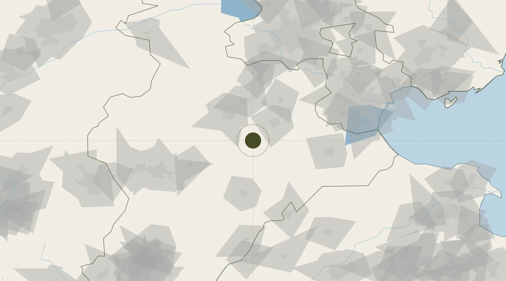
38.4694°, 115.8234°
458 ha
Zone area
182.9 km
Nearest port
96.7 km
Nearest airport

Gateway access

Nearest neighbours — logibook spatial index (haversine) over the source coordinates

Zone profile

Zone type
Export Processing Zone
Open Zone Map
Region
Hebei
Open Zone Map
Status
Active
Open Zone Map
Management
Public
Open Zone Map
Operator
Management Committee of Hebei Suning Economic Development Zone
Open Zone Map
Legal framework
Unavailable
Open Zone Map

Location

Location of ozm-1151
Natural Earth 10m (public domain) · Hebei · ozm-1151 · 38.47, 115.82GoogleOSMYandex

Nearby Logistics Neighbours

Ports
  1. 1Tianjin Xin Gang183 km
  2. 2Tangshan (Jingtang)288 km
  3. 3Qinhuangdao365 km
  4. 4Longkou Gang401 km
  5. 5Penglai444 km
Nearest neighbours — logibook spatial index (haversine) over the source coordinates
Airports
  1. 1Cangxian Air Base97 km
  2. 2Shijiazhuang Zhengding International Airport100 km
  3. 3Jiugucheng Air Base112 km
  4. 4Tangguantun Air Base114 km
  5. 5Beijing Nanjiao Airport122 km
Nearest neighbours — logibook spatial index (haversine) over the source coordinates
Cities
  1. 1Baoding51 km
  2. 2Xinji84 km
  3. 3Cangzhou93 km
  4. 4Jinghai, Tianjing108 km
  5. 5Xiangyang120 km
Nearest neighbours — logibook spatial index (haversine) over the source coordinates
Trade Zones
  1. 1Anguo Modern Chinese Medicine Industrial Park40 km
  2. 2Renqiu Economic Development Zone42 km
  3. 3Xian County Economic Development Zone43 km
  4. 4Wuqiang Economic Development Zone50 km
  5. 5Baoding Economic Development Zone50 km
Nearest neighbours — logibook spatial index (haversine) over the source coordinates
DatabookThe Record of Consolidated Knowledge
China beyond logistics?
Browse databook

All Sources

Trade ZonesOpen Zone Map
CC BY
Portsthe NGA World Port Index
Public domain (US gov)
AirportsOurAirports
Public domain
LocationsUN/LOCODE
UN/LOCODE — free
← China trade zones