Export Processing Zone · China
Wenan Economic Development Zone Active
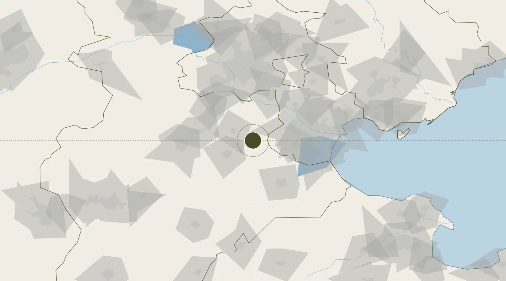
38.9040°, 116.4805°
1,212 ha
Zone area
117.2 km
Nearest port
52.7 km
Nearest airport
Gateway access
Zone profile
Zone type
Export Processing Zone
Region
Hebei
Status
Active
Management
Public
Operator
Working Committee of Wen'an Economic Development Zone
Legal framework
Hebei Wen 'an Economic Development Zone Xinqiao Environmental Protection Science and Technology Industrial Park planning environmental impact tracking assessment of the second information announcement
Location
Nearby Logistics Neighbours
Ports
- 1Tianjin Xin Gang117 km
- 2Tangshan (Jingtang)222 km
- 3Qinhuangdao293 km
- 4Longkou Gang361 km
- 5Penglai398 km
Airports
- 1Tangguantun Air Base53 km
- 2Beijing Nanjiao Airport65 km
- 3Beijing Daxing International Airport67 km
- 4Cangxian Air Base68 km
- 5Yangcun Air Base74 km
Cities
- 1Jinghai, Tianjing39 km
- 2Xiqing , Tianjing50 km
- 3Daxing67 km
- 4Heping68 km
- 5Langfang71 km
DatabookThe Record of Consolidated Knowledge
China beyond logistics?