Transport Functions
Road
Multimodal
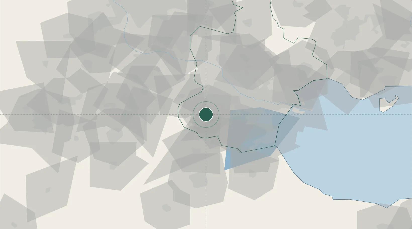
Hub Profile
Region
TJ
Location
Nearby Logistics Neighbours
Cities
- 1Xiqing , Tianjing20 km
- 2Heping34 km
- 3Dongli ,Tianjing38 km
- 4Tanggu63 km
- 5Cangzhou67 km
Ports
- 1Tianjin Xin Gang78 km
- 2Tangshan (Jingtang)183 km
- 3Qinhuangdao258 km
- 4Longkou Gang325 km
- 5Penglai361 km
Airports
Trade Zones
DatabookThe Record of Consolidated Knowledge
China beyond logistics?