Export Processing Zone · China

Dacheng Economic Development Zone Active
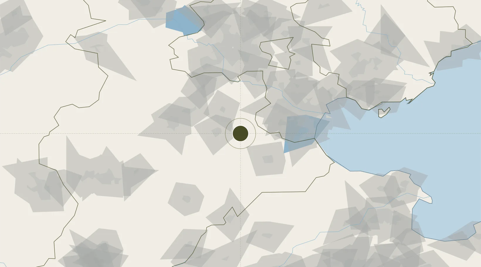
38.6914°, 116.4687°
432 ha
Zone area
122.1 km
Nearest port
51.4 km
Nearest airport

Gateway access

Nearest neighbours — logibook spatial index (haversine) over the source coordinates

Zone profile

Zone type
Export Processing Zone
Open Zone Map
Region
Hebei
Open Zone Map
Status
Active
Open Zone Map
Management
Public
Open Zone Map
Operator
Hebei Dacheng Economic Development Zone
Open Zone Map
Legal framework
Unavailable
Open Zone Map

Location

Location of ozm-1140
Natural Earth 10m (public domain) · Hebei · ozm-1140 · 38.69, 116.47GoogleOSMYandex

Nearby Logistics Neighbours

Ports
  1. 1Tianjin Xin Gang122 km
  2. 2Tangshan (Jingtang)228 km
  3. 3Qinhuangdao304 km
  4. 4Longkou Gang354 km
  5. 5Penglai393 km
Nearest neighbours — logibook spatial index (haversine) over the source coordinates
Airports
  1. 1Cangxian Air Base51 km
  2. 2Tangguantun Air Base53 km
  3. 3Beijing Nanjiao Airport88 km
  4. 4Tianjin Binhai International Airport90 km
  5. 5Beijing Daxing International Airport90 km
Nearest neighbours — logibook spatial index (haversine) over the source coordinates
Cities
  1. 1Jinghai, Tianjing47 km
  2. 2Cangzhou56 km
  3. 3Xiqing , Tianjing63 km
  4. 4Heping80 km
  5. 5Dongli ,Tianjing84 km
Nearest neighbours — logibook spatial index (haversine) over the source coordinates
Trade Zones
  1. 1Wenan Economic Development Zone24 km
  2. 2Renqiu Economic Development Zone30 km
  3. 3Qingxian Economic Development Zone37 km
  4. 4Cangzhou High-tech Industrial Development Zone49 km
  5. 5Daqiuzhuang Industrial Zone54 km
Nearest neighbours — logibook spatial index (haversine) over the source coordinates
DatabookThe Record of Consolidated Knowledge
China beyond logistics?
Browse databook

All Sources

Trade ZonesOpen Zone Map
CC BY
Portsthe NGA World Port Index
Public domain (US gov)
AirportsOurAirports
Public domain
LocationsUN/LOCODE
UN/LOCODE — free
← China trade zones