Diversified Zone · China
Chifeng Yulong Industrial Park Active
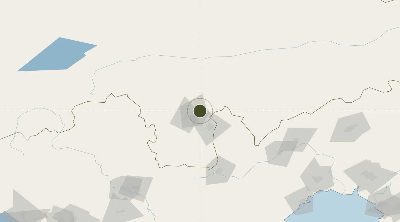
42.3103°, 119.0756°
550 ha
Zone area
239.4 km
Nearest port
25.6 km
Nearest airport
Gateway access
Zone profile
Zone type
Diversified Zone
Region
Inner Mongol
Status
Active
Management
Public
Operator
Chifeng Yulong Industrial Park Management Committee
Legal framework
It was founded in 2017
Location
Nearby Logistics Neighbours
Ports
- 1Huludao Gang239 km
- 2Jinzhou Wan242 km
- 3Qinhuangdao268 km
- 4Yingkou319 km
- 5Bayuquan336 km
Airports
- 1Chifeng Yulong Airport26 km
- 2Chaoyang Airport142 km
- 3Chengde Puning Airport156 km
- 4Pingquan Air Base160 km
- 5Fuxin Air Base215 km
Cities
- 1Chengde177 km
- 2Jinxi227 km
- 3Jinzhou Pt229 km
- 4Beizhen239 km
- 5Goubangzi247 km
DatabookThe Record of Consolidated Knowledge
China beyond logistics?