Diversified Zone · China
Lingyuan Economic Development Zone Active
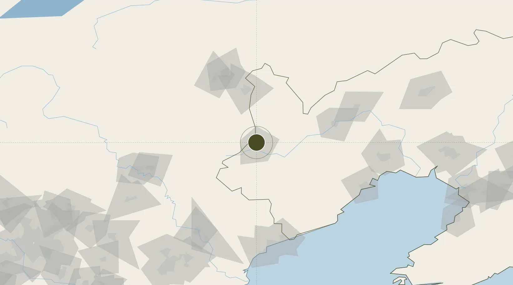
41.3150°, 119.3972°
201 ha
Zone area
149.6 km
Nearest port
75.9 km
Nearest airport
Gateway access
Zone profile
Zone type
Diversified Zone
Region
Liaoning
Status
Active
Management
Public
Operator
Lingyuan Economic Development Zone Management committee
Legal framework
In 2016, the People's Government of Liaoning Province approved the promotion of Lingyuan Industrial
Park to the provincial economic development zone by the "Reply of the
People's Government of Liaoning Province on approval of the Promotion of
Lingyuan Ind
Location
Nearby Logistics Neighbours
Ports
- 1Huludao Gang150 km
- 2Qinhuangdao155 km
- 3Jinzhou Wan156 km
- 4Tangshan (Jingtang)237 km
- 5Yingkou248 km
Airports
- 1Pingquan Air Base76 km
- 2Chaoyang Airport90 km
- 3Chifeng Yulong Airport105 km
- 4Chengde Puning Airport113 km
- 5Xingcheng Air Base137 km
Cities
- 1Chengde129 km
- 2Jinxi136 km
- 3Jinzhou Pt147 km
- 4Qinhuangdao Pt155 km
- 5Beizhen194 km
DatabookThe Record of Consolidated Knowledge
China beyond logistics?