Export Processing Zone · China

Chifeng High-tech Industrial Development Zone Active
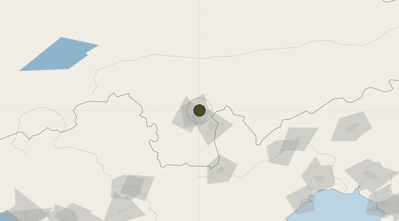
42.3100°, 119.0397°
2,200 ha
Zone area
241.3 km
Nearest port
23.4 km
Nearest airport

Gateway access

Nearest neighbours — logibook spatial index (haversine) over the source coordinates

Zone profile

Zone type
Export Processing Zone
Open Zone Map
Region
Inner Mongol
Open Zone Map
Status
Active
Open Zone Map
Management
Public
Open Zone Map
Operator
Working Committee of Chifeng High-tech Industrial Development Zone
Open Zone Map
Legal framework
Chifeng Industrial Park industrial development plan
Open Zone Map

Location

Location of ozm-1361
Natural Earth 10m (public domain) · Inner Mongol · ozm-1361 · 42.31, 119.04GoogleOSMYandex

Nearby Logistics Neighbours

Ports
  1. 1Huludao Gang241 km
  2. 2Jinzhou Wan244 km
  3. 3Qinhuangdao269 km
  4. 4Yingkou322 km
  5. 5Bayuquan339 km
Nearest neighbours — logibook spatial index (haversine) over the source coordinates
Airports
  1. 1Chifeng Yulong Airport23 km
  2. 2Chaoyang Airport144 km
  3. 3Chengde Puning Airport155 km
  4. 4Pingquan Air Base160 km
  5. 5Fuxin Air Base218 km
Nearest neighbours — logibook spatial index (haversine) over the source coordinates
Cities
  1. 1Chengde175 km
  2. 2Jinxi229 km
  3. 3Jinzhou Pt231 km
  4. 4Beizhen242 km
  5. 5Goubangzi250 km
Nearest neighbours — logibook spatial index (haversine) over the source coordinates
Trade Zones
  1. 1Chifeng Yulong Industrial Park3 km
  2. 2Chifeng Songshan Economic Development Zone13 km
  3. 3Harqin Economic Development Zone15 km
  4. 4Chaoyang Jianping Economic Development Zone111 km
  5. 5Lingyuan Economic Development Zone115 km
Nearest neighbours — logibook spatial index (haversine) over the source coordinates
DatabookThe Record of Consolidated Knowledge
China beyond logistics?
Browse databook

All Sources

Trade ZonesOpen Zone Map
CC BY
Portsthe NGA World Port Index
Public domain (US gov)
AirportsOurAirports
Public domain
LocationsUN/LOCODE
UN/LOCODE — free
← China trade zones