Medium airport · China

Chengde Puning AirportZBCD
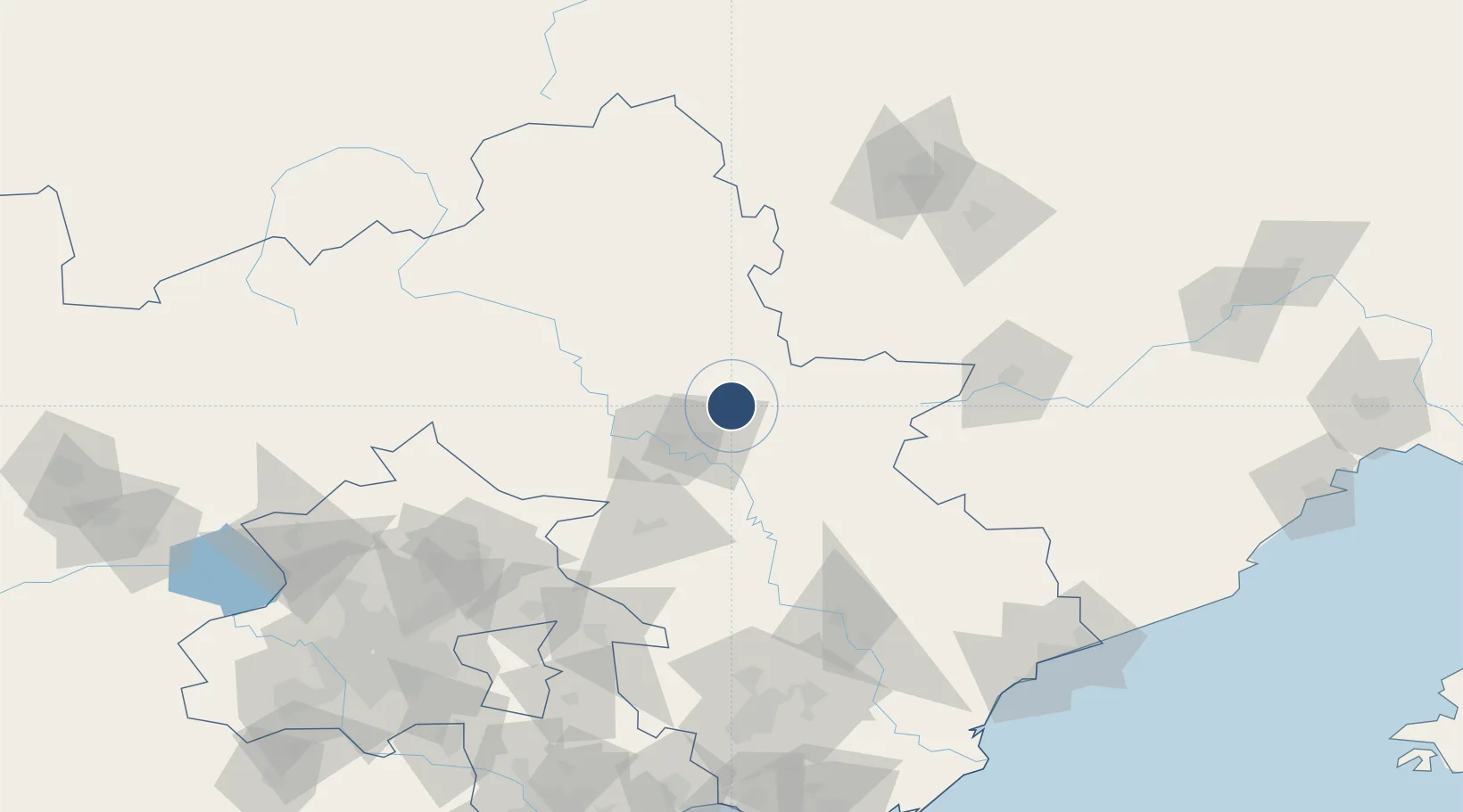
41.1225°, 118.0739°
9,186 ft
Longest runway
1
Runways

Runway & Layout

Chengde Puning Airport runway & taxiway layout
Runway & taxiway layout — OpenStreetMap (ODbL) / OurAirports

Runways · 1

RunwayDimensions SurfaceTrue headingLit
12/30 9,186 × 148ft
OurAirports

Airport Specifications

IATA code
CDE
OurAirports
ICAO code
ZBCD
OurAirports
Airport class
Medium airport
OurAirports
Scheduled service
Yes
OurAirports
Served city
Chengde
OurAirports

Location

Location of ZBCD
Natural Earth 10m (public domain) · Hebei · ZBCD · 41.12, 118.07GoogleOSMYandex

Nearby Logistics Neighbours

Airports
  1. 1Pingquan Air Base56 km
  2. 2Tangshan Zunhua Air Base115 km
  3. 3Fengning Air Base123 km
  4. 4Chifeng Yulong Airport132 km
  5. 5Tangshan Sannühe Airport156 km
Nearest neighbours — logibook spatial index (haversine) over the source coordinates
Cities
  1. 1Chengde21 km
  2. 2Miyun134 km
  3. 3Pinggu137 km
  4. 4Yutai161 km
  5. 5Lisui162 km
Nearest neighbours — logibook spatial index (haversine) over the source coordinates
Ports
  1. 1Qinhuangdao186 km
  2. 2Tangshan (Jingtang)228 km
  3. 3Tianjin Xin Gang241 km
  4. 4Huludao Gang249 km
  5. 5Jinzhou Wan258 km
Nearest neighbours — logibook spatial index (haversine) over the source coordinates
Trade Zones
  1. 1Chengde Shuangluan Economic Development Zone30 km
  2. 2Luanping High-tech Industrial Development Zone56 km
  3. 3Kuancheng Economic Development Zone67 km
  4. 4Zunhua Economic Development Zone103 km
  5. 5Lingyuan Economic Development Zone113 km
Nearest neighbours — logibook spatial index (haversine) over the source coordinates
DatabookThe Record of Consolidated Knowledge
China beyond logistics?
Browse databook

All Sources

AirportsOurAirports
Public domain
Portsthe NGA World Port Index
Public domain (US gov)
LocationsUN/LOCODE
UN/LOCODE — free
Trade Zonesthe World Bank SEZ database
CC BY 4.0
Trade ZonesOpen Zone Map
CC BY
InfrastructureOpenStreetMap
ODbL 1.0
← China airports