Runway & Layout

Airport Specifications
Airport class
Medium airport
Scheduled service
No
Served city
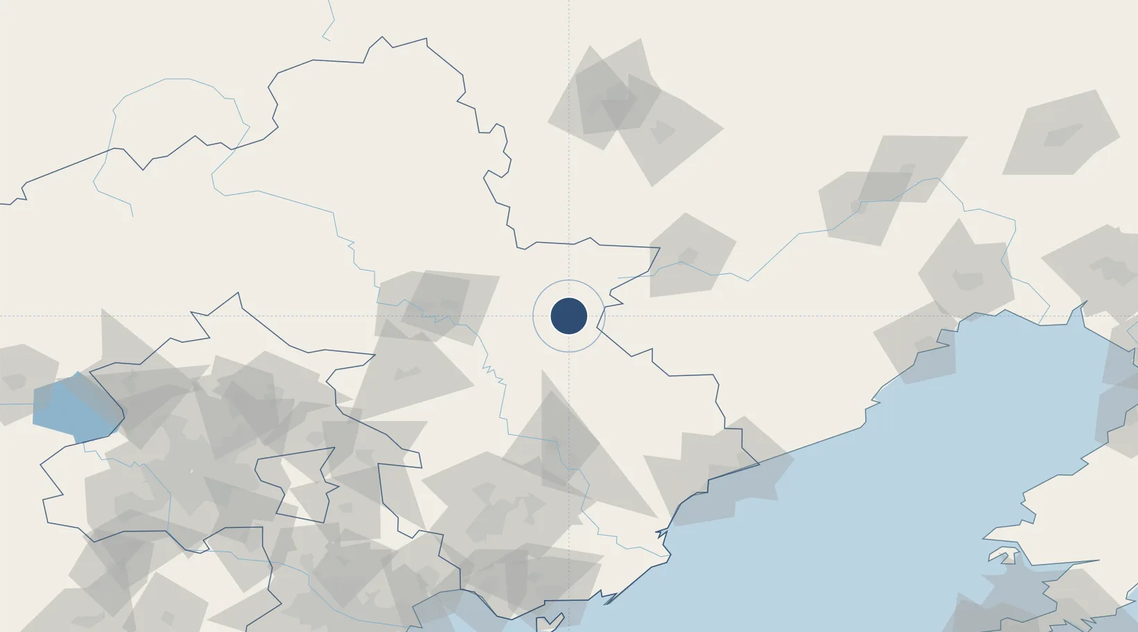
Chengde
Location
Nearby Logistics Neighbours
Airports
- 1Chengde Puning Airport56 km
- 2Tangshan Zunhua Air Base111 km
- 3Chifeng Yulong Airport141 km
- 4Qinhuangdao Beidaihe Airport141 km
- 5Tangshan Sannühe Airport143 km
Cities
- 1Chengde63 km
- 2Qinhuangdao Pt135 km
- 3Tangshan Pt147 km
- 4Pinggu157 km
- 5Miyun167 km
Ports
- 1Qinhuangdao134 km
- 2Tangshan (Jingtang)191 km
- 3Huludao Gang195 km
- 4Jinzhou Wan205 km
- 5Tianjin Xin Gang227 km
DatabookThe Record of Consolidated Knowledge
China beyond logistics?