Transport Functions
Port
Rail
Road
Hub Profile
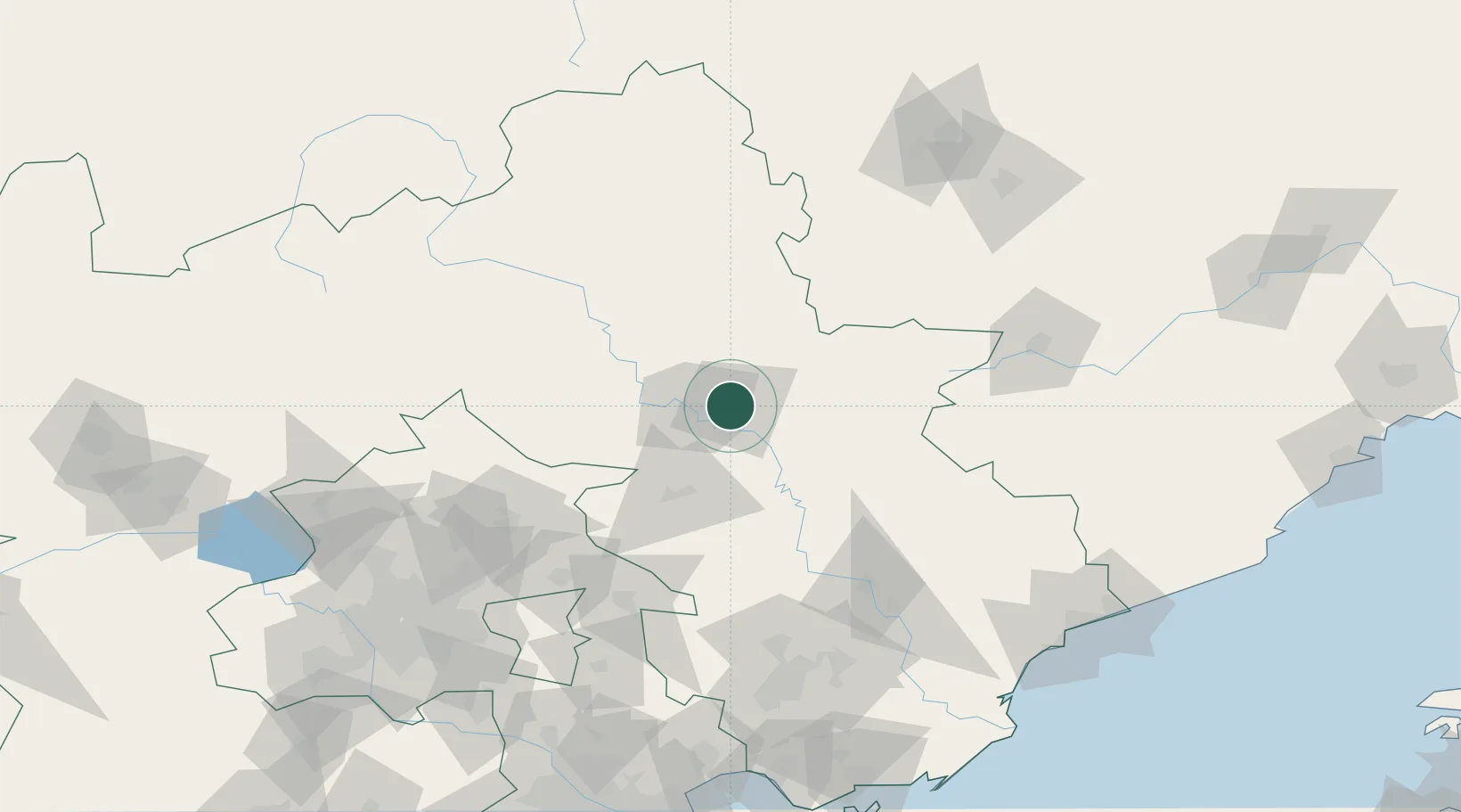
Place type
Populated place
Region
Hebei
Population
449,325
Time zone
Asia/Shanghai
Elevation
318 m
Location
Nearby Logistics Neighbours
Ports
- 1Qinhuangdao183 km
- 2Tangshan (Jingtang)217 km
- 3Tianjin Xin Gang223 km
- 4Huludao Gang258 km
- 5Jinzhou Wan267 km
Airports
- 1Chengde Puning Airport21 km
- 2Pingquan Air Base63 km
- 3Tangshan Zunhua Air Base96 km
- 4Fengning Air Base115 km
- 5Tangshan Sannühe Airport139 km
DatabookThe Record of Consolidated Knowledge
China beyond logistics?