Medium airport · China

Chifeng Yulong AirportZBCF
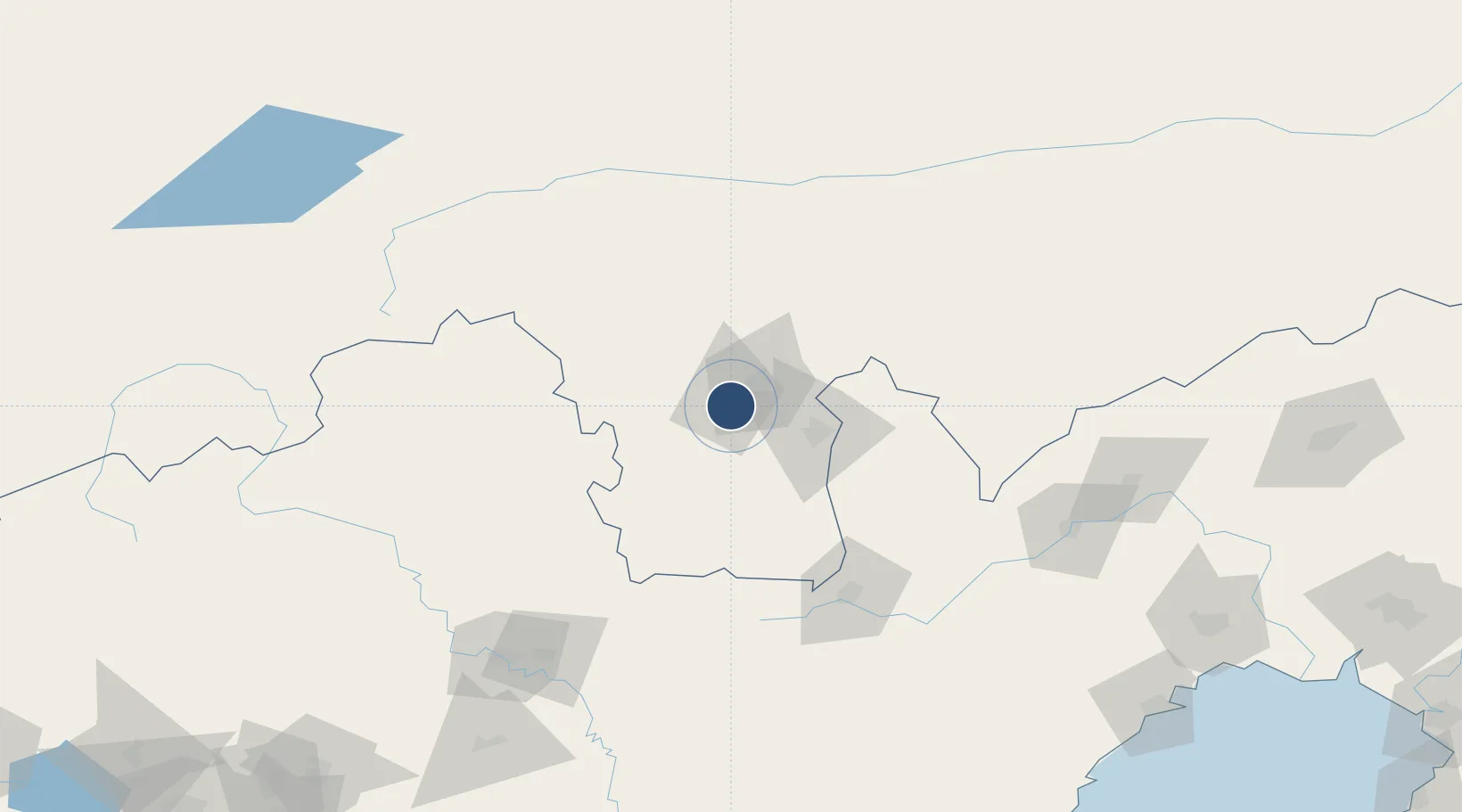
42.1597°, 118.8410°
5,774 ft
Longest runway
1
Runways
2,018 ft
Elevation

Runway & Layout

Chifeng Yulong Airport runway & taxiway layout
Runway & taxiway layout — OpenStreetMap (ODbL) / OurAirports

Runways · 1

RunwayDimensions SurfaceTrue headingLit
03/21 5,774 × —ft
OurAirports

Airport Specifications

IATA code
CIF
OurAirports
ICAO code
ZBCF
OurAirports
Airport class
Medium airport
OurAirports
Scheduled service
Yes
OurAirports
Served city
Chifeng
OurAirports

Location

Location of ZBCF
Natural Earth 10m (public domain) · Inner Mongol · ZBCF · 42.16, 118.84GoogleOSMYandex

Nearby Logistics Neighbours

Airports
  1. 1Chengde Puning Airport132 km
  2. 2Pingquan Air Base141 km
  3. 3Chaoyang Airport149 km
  4. 4Fengning Air Base210 km
  5. 5Fuxin Air Base233 km
Nearest neighbours — logibook spatial index (haversine) over the source coordinates
Cities
  1. 1Chengde153 km
  2. 2Jinxi228 km
  3. 3Jinzhou Pt233 km
  4. 4Beizhen252 km
  5. 5Qinhuangdao Pt256 km
Nearest neighbours — logibook spatial index (haversine) over the source coordinates
Ports
  1. 1Huludao Gang241 km
  2. 2Jinzhou Wan245 km
  3. 3Qinhuangdao256 km
  4. 4Yingkou327 km
  5. 5Tangshan (Jingtang)329 km
Nearest neighbours — logibook spatial index (haversine) over the source coordinates
Trade Zones
  1. 1Harqin Economic Development Zone9 km
  2. 2Chifeng Songshan Economic Development Zone13 km
  3. 3Chifeng High-tech Industrial Development Zone23 km
  4. 4Chifeng Yulong Industrial Park26 km
  5. 5Lingyuan Economic Development Zone105 km
Nearest neighbours — logibook spatial index (haversine) over the source coordinates
DatabookThe Record of Consolidated Knowledge
China beyond logistics?
Browse databook

All Sources

AirportsOurAirports
Public domain
Portsthe NGA World Port Index
Public domain (US gov)
LocationsUN/LOCODE
UN/LOCODE — free
Trade Zonesthe World Bank SEZ database
CC BY 4.0
Trade ZonesOpen Zone Map
CC BY
InfrastructureOpenStreetMap
ODbL 1.0
← China airports