Free Trade Zone · Zambia

Lusaka South Multi-Facility Economic Zone Active
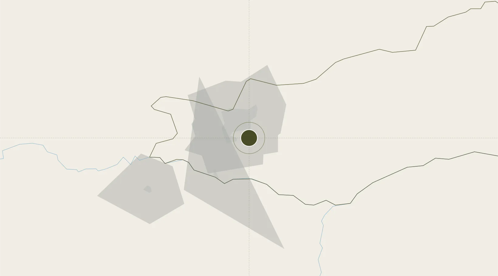
-15.5263°, 28.3939°
33 ha
Zone area
833.3 km
Nearest port
14.2 km
Nearest airport

Gateway access

Nearest neighbours — logibook spatial index (haversine) over the source coordinates

Zone profile

Zone type
Free Trade Zone
Open Zone Map
Region
Lusaka
Open Zone Map
Status
Active
Open Zone Map
Management
Public-Private Partnership
Open Zone Map
Operator
Zambia China Commercial and Trade Cooperation Zone
Open Zone Map
Legal framework
Zambia Development Agency (ZDA) Act No. 11 of 2006
Open Zone Map

Location

Location of ozm-5211
Natural Earth 10m (public domain) · Lusaka · ozm-5211 · -15.53, 28.39GoogleOSMYandex

Nearby Logistics Neighbours

Ports
  1. 1Beira833 km
  2. 2Chinde926 km
  3. 3Quelimane941 km
  4. 4Porto Belo967 km
  5. 5Pebane1058 km
Nearest neighbours — logibook spatial index (haversine) over the source coordinates
Airports
  1. 1Lusaka City Airport14 km
  2. 2Kenneth Kaunda International Airport23 km
  3. 3Kariba Airport122 km
  4. 4Peter Zuze Air Force Base283 km
  5. 5Simon Mwansa Kapwepwe International Airport285 km
Nearest neighbours — logibook spatial index (haversine) over the source coordinates
Cities
  1. 1Mazabuka77 km
  2. 2Siavonga117 km
  3. 3Kalulishi301 km
  4. 4Kalulushi301 km
  5. 5Gokwe305 km
Nearest neighbours — logibook spatial index (haversine) over the source coordinates
DatabookThe Record of Consolidated Knowledge
Zambia beyond logistics?
Browse databook

All Sources

Trade ZonesOpen Zone Map
CC BY
Portsthe NGA World Port Index
Public domain (US gov)
AirportsOurAirports
Public domain
LocationsUN/LOCODE
UN/LOCODE — free
← Zambia trade zones