Free Trade Zone · Zambia

Chambishi Multi-Facility Economic Zone Active
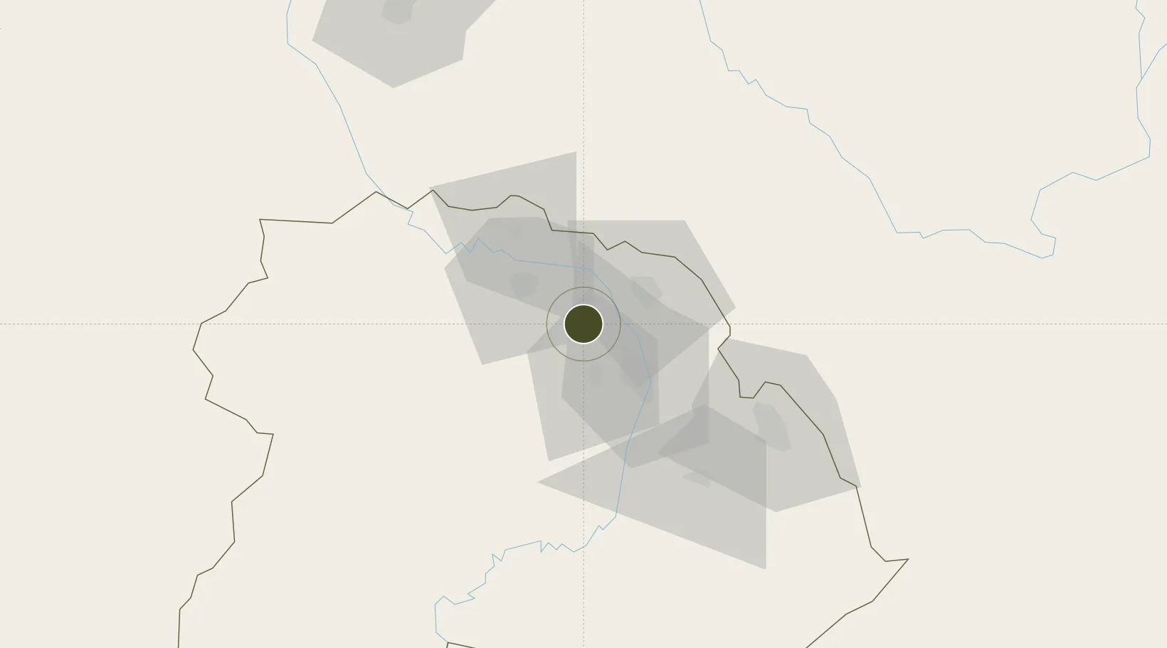
-12.6592°, 28.0572°
570 ha
Zone area
1,076.4 km
Nearest port
20.2 km
Nearest airport

Gateway access

Nearest neighbours — logibook spatial index (haversine) over the source coordinates

Zone profile

Zone type
Free Trade Zone
Open Zone Map
Region
Copperbelt
Open Zone Map
Status
Active
Open Zone Map
Management
Public-Private Partnership
Open Zone Map
Operator
Zambia China Commercial and Trade Cooperation Zone
Open Zone Map
Legal framework
Zambia Development Agency (ZDA) Act No. 11 of 2006
Open Zone Map

Location

Location of ozm-5212
Natural Earth 10m (public domain) · Copperbelt · ozm-5212 · -12.66, 28.06GoogleOSMYandex

Nearby Logistics Neighbours

Ports
  1. 1Beira1076 km
  2. 2Quelimane1110 km
  3. 3Chinde1117 km
  4. 4Porto Belo1128 km
  5. 5Pebane1199 km
Nearest neighbours — logibook spatial index (haversine) over the source coordinates
Airports
  1. 1Kasompe Airport20 km
  2. 2Southdowns Airport29 km
  3. 3Simon Mwansa Kapwepwe International Airport60 km
  4. 4Peter Zuze Air Force Base76 km
  5. 5Lubumbashi International Airport132 km
Nearest neighbours — logibook spatial index (haversine) over the source coordinates
Cities
  1. 1Kalulishi20 km
  2. 2Kalulushi20 km
  3. 3Sakania54 km
  4. 4Mutasa81 km
  5. 5Lubumbashi125 km
Nearest neighbours — logibook spatial index (haversine) over the source coordinates
DatabookThe Record of Consolidated Knowledge
Zambia beyond logistics?
Browse databook

All Sources

Trade ZonesOpen Zone Map
CC BY
Portsthe NGA World Port Index
Public domain (US gov)
AirportsOurAirports
Public domain
LocationsUN/LOCODE
UN/LOCODE — free
← Zambia trade zones