Large airport · Zambia
Simon Mwansa Kapwepwe International AirportFLSK
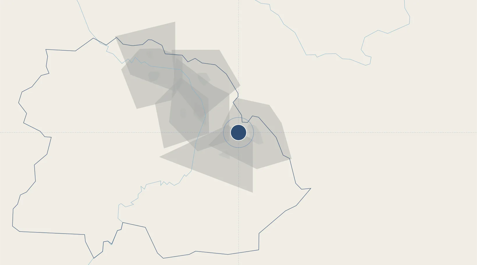
-12.9651°, 28.5156°
11,483 ft
Longest runway
1
Runways
4,308 ft
Elevation
Runway & Layout

Runways · 1
| Runway | Dimensions | Surface | True heading | Lit |
|---|---|---|---|---|
| 09/27 | 11,483 × 148ft | Asphalt | — | ✓ |
Airport Specifications
IATA code
NLA
ICAO code
FLSK
Airport class
Large airport
Scheduled service
Yes
Runway surface
Asphalt
Served city
Ndola
Location
Nearby Logistics Neighbours
Airports
- 1Peter Zuze Air Force Base17 km
- 2Southdowns Airport40 km
- 3Kasompe Airport80 km
- 4Lubumbashi International Airport187 km
- 5Solwesi Airport249 km
Cities
- 1Sakania24 km
- 2Kalulishi49 km
- 3Kalulushi49 km
- 4Mutasa129 km
- 5Lubumbashi182 km
Ports
- 1Beira1018 km
- 2Quelimane1050 km
- 3Chinde1057 km
- 4Porto Belo1068 km
- 5Pebane1139 km
DatabookThe Record of Consolidated Knowledge
Zambia beyond logistics?