Large airport · Congo - Kinshasa
Lubumbashi International AirportFZQA
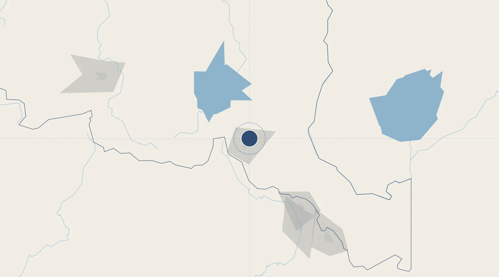
-11.5915°, 27.5308°
10,623 ft
Longest runway
1
Runways
4,295 ft
Elevation
Runway & Layout

Radio Frequencies
TWR
118.1 MHz
APP
128.1 MHz
Navaids
LE NDB Lubumbashi 285 kHz
LUB VOR-DME Lubumbashi 116.70 MHz
OL NDB Lubumbashi 275 kHz
Runways · 1
| Runway | Dimensions | Surface | True heading | Lit |
|---|---|---|---|---|
| 07/25 | 10,623 × 164ft | Asphalt | 066° | ✓ |
Airport Specifications
IATA code
FBM
ICAO code
FZQA
Airport class
Large airport
Scheduled service
Yes
Runway surface
Asphalt
Served city
Lubumbashi
Location
Nearby Logistics Neighbours
Airports
- 1Kasompe Airport116 km
- 2Solwesi Airport142 km
- 3Southdowns Airport160 km
- 4Simon Mwansa Kapwepwe International Airport187 km
- 5Peter Zuze Air Force Base199 km
Cities
- 1Lubumbashi11 km
- 2Kipushi37 km
- 3Likasi110 km
- 4Mutasa142 km
- 5Kalulishi151 km
Ports
- 1Beira1204 km
- 2Quelimane1225 km
- 3Chinde1236 km
- 4Porto Belo1240 km
- 5Pebane1306 km
DatabookThe Record of Consolidated Knowledge
Congo - Kinshasa beyond logistics?