Export Processing Zone · Zambia

Chibombo (Jiangxi) Multi-Facility Economic Zone Active
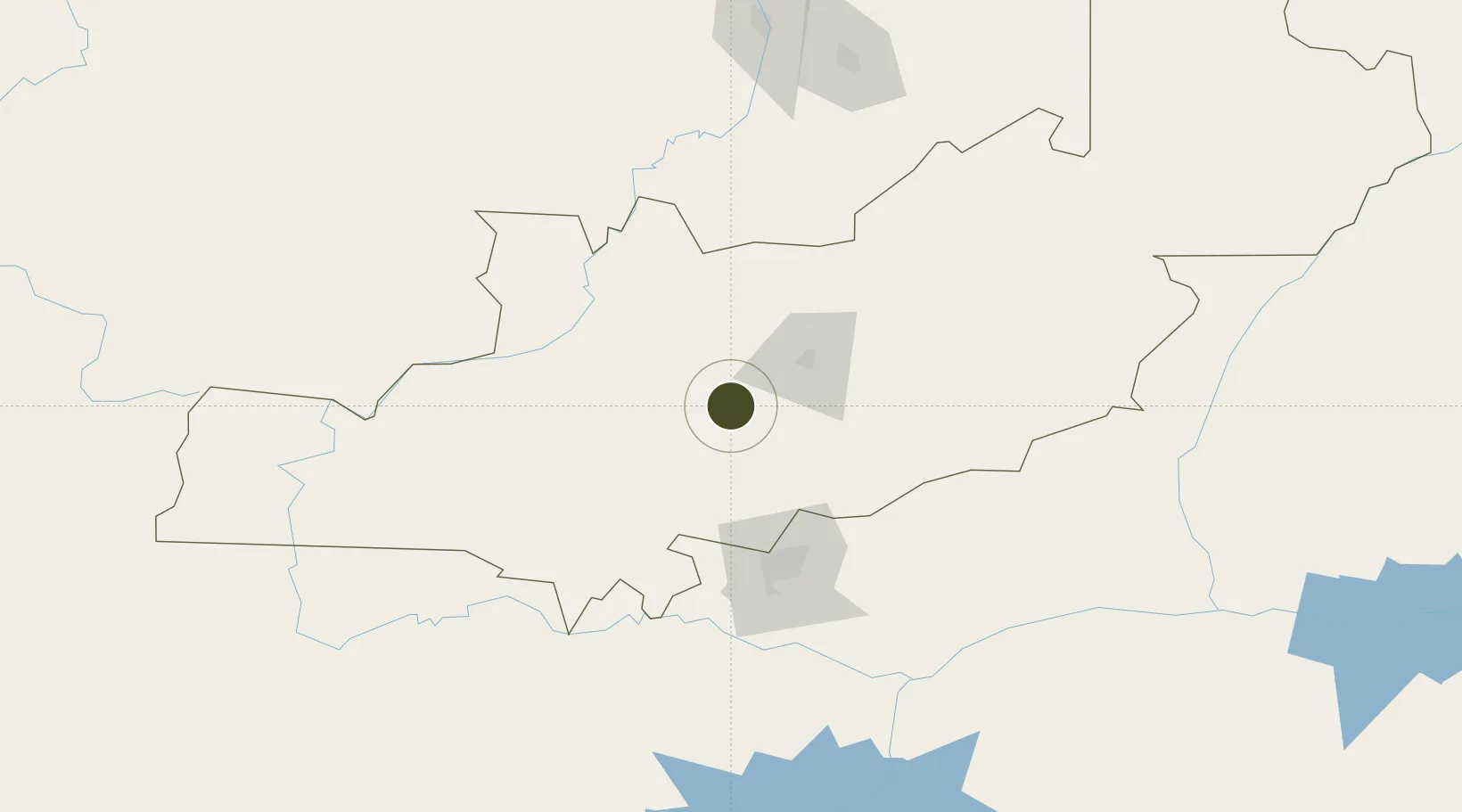
-14.6507°, 28.0777°
600 ha
Zone area
920.0 km
Nearest port
85.7 km
Nearest airport

Gateway access

Nearest neighbours — logibook spatial index (haversine) over the source coordinates

Zone profile

Zone type
Export Processing Zone
Open Zone Map
Region
Central
Open Zone Map
Status
Active
Open Zone Map
Management
Private
Open Zone Map
Operator
Jiangxi United Industries Limited
Open Zone Map
Legal framework
Zambia Development Agency (ZDA) Act No. 11 of 2006
Open Zone Map

Location

Location of ozm-5210
Natural Earth 10m (public domain) · Central · ozm-5210 · -14.65, 28.08GoogleOSMYandex

Nearby Logistics Neighbours

Ports
  1. 1Beira920 km
  2. 2Chinde997 km
  3. 3Quelimane1006 km
  4. 4Porto Belo1030 km
  5. 5Pebane1115 km
Nearest neighbours — logibook spatial index (haversine) over the source coordinates
Airports
  1. 1Kenneth Kaunda International Airport86 km
  2. 2Lusaka City Airport89 km
  3. 3Simon Mwansa Kapwepwe International Airport193 km
  4. 4Peter Zuze Air Force Base194 km
  5. 5Southdowns Airport195 km
Nearest neighbours — logibook spatial index (haversine) over the source coordinates
Cities
  1. 1Mazabuka139 km
  2. 2Kalulishi202 km
  3. 3Kalulushi202 km
  4. 4Mutasa216 km
  5. 5Sakania217 km
Nearest neighbours — logibook spatial index (haversine) over the source coordinates
DatabookThe Record of Consolidated Knowledge
Zambia beyond logistics?
Browse databook

All Sources

Trade ZonesOpen Zone Map
CC BY
Portsthe NGA World Port Index
Public domain (US gov)
AirportsOurAirports
Public domain
LocationsUN/LOCODE
UN/LOCODE — free
← Zambia trade zones