Export Processing Zone · Zambia
Chembe Multi-Facility Economic Zone Under Development
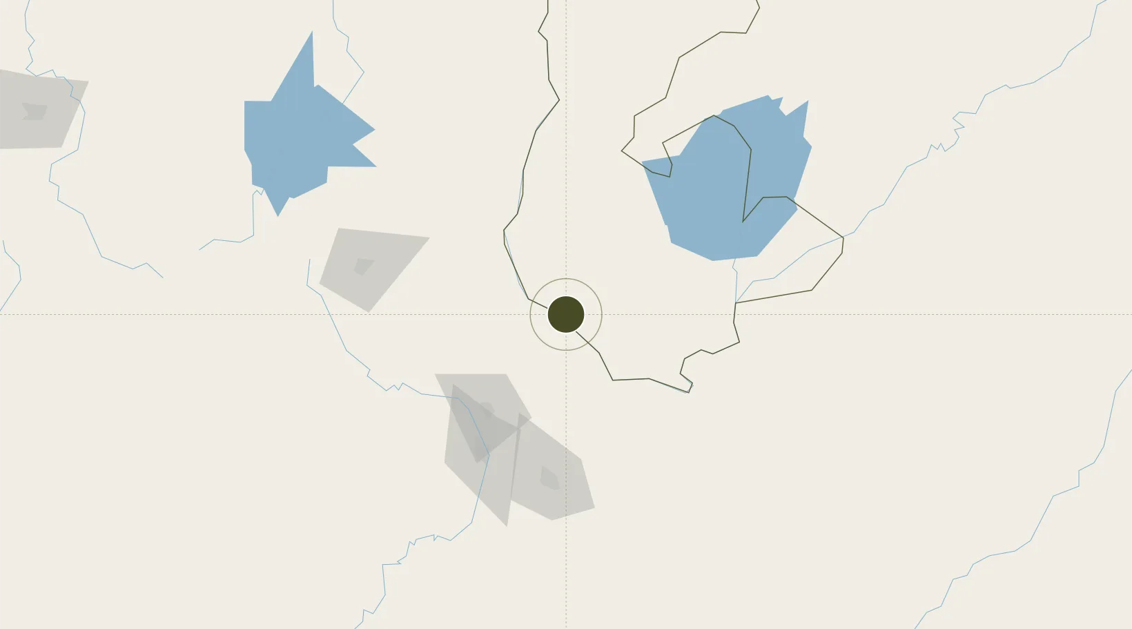
-11.9692°, 28.7413°
175 ha
Zone area
1,090.1 km
Nearest port
113.4 km
Nearest airport
Gateway access
Zone profile
Zone type
Export Processing Zone
Region
Luapula
Status
Under Development
Management
Public-Private Partnership
Operator
Zambia China Commercial and Trade Cooperation Zone
Legal framework
Zambia Development Agency (ZDA) Act No. 11 of 2006
Location
Nearby Logistics Neighbours
Ports
- 1Beira1090 km
- 2Quelimane1094 km
- 3Porto Belo1108 km
- 4Chinde1109 km
- 5Pebane1171 km
Airports
- 1Simon Mwansa Kapwepwe International Airport113 km
- 2Kasompe Airport114 km
- 3Peter Zuze Air Force Base115 km
- 4Southdowns Airport122 km
- 5Lubumbashi International Airport138 km
Cities
- 1Sakania89 km
- 2Kalulishi120 km
- 3Kalulushi120 km
- 4Lubumbashi141 km
- 5Kipushi166 km
Trade Zones
DatabookThe Record of Consolidated Knowledge
Zambia beyond logistics?