Medium airport · Zambia

Southdowns AirportFLSO
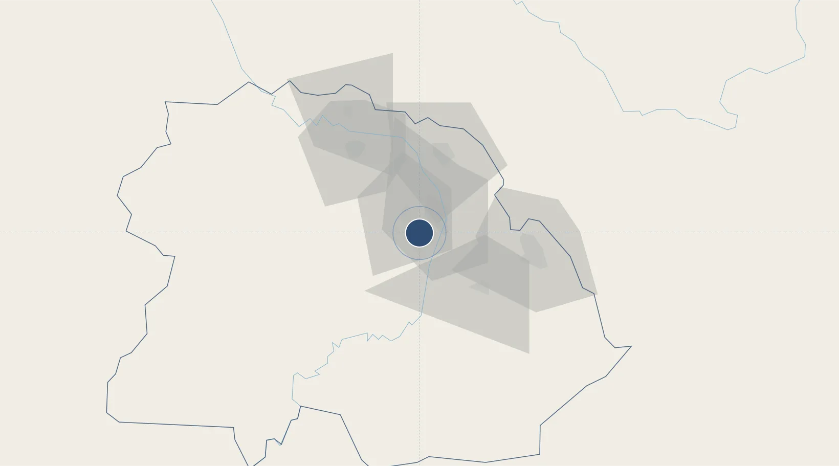
-12.9005°, 28.1499°
6,562 ft
Longest runway
1
Runways
4,145 ft
Elevation

Runway & Layout

Southdowns Airport runway & taxiway layout
Runway & taxiway layout — OpenStreetMap (ODbL) / OurAirports

Radio Frequencies

NDOLA TWR
118.7 MHz
OurAirports

Navaids

KT NDB Southdowns 394 kHz
OurAirports

Runways · 1

RunwayDimensions SurfaceTrue headingLit
11/29 6,562 × 100ft Asphalt 106°
OurAirports

Airport Specifications

IATA code
KIW
OurAirports
ICAO code
FLSO
OurAirports
Airport class
Medium airport
OurAirports
Scheduled service
No
OurAirports
Runway surface
Asphalt
OurAirports
Served city
Kitwe
OurAirports

Location

Location of FLSO
Natural Earth 10m (public domain) · Copperbelt · FLSO · -12.90, 28.15GoogleOSMYandex

Nearby Logistics Neighbours

Airports
  1. 1Simon Mwansa Kapwepwe International Airport40 km
  2. 2Kasompe Airport46 km
  3. 3Peter Zuze Air Force Base57 km
  4. 4Lubumbashi International Airport160 km
  5. 5Solwesi Airport210 km
Nearest neighbours — logibook spatial index (haversine) over the source coordinates
Cities
  1. 1Kalulishi10 km
  2. 2Kalulushi10 km
  3. 3Sakania47 km
  4. 4Mutasa89 km
  5. 5Lubumbashi154 km
Nearest neighbours — logibook spatial index (haversine) over the source coordinates
Ports
  1. 1Beira1050 km
  2. 2Quelimane1088 km
  3. 3Chinde1093 km
  4. 4Porto Belo1106 km
  5. 5Pebane1178 km
Nearest neighbours — logibook spatial index (haversine) over the source coordinates
DatabookThe Record of Consolidated Knowledge
Zambia beyond logistics?
Browse databook

All Sources

AirportsOurAirports
Public domain
Portsthe NGA World Port Index
Public domain (US gov)
LocationsUN/LOCODE
UN/LOCODE — free
Trade Zonesthe World Bank SEZ database
CC BY 4.0
Trade ZonesOpen Zone Map
CC BY
InfrastructureOpenStreetMap
ODbL 1.0
← Zambia airports