Free Trade Zone · Zambia

Lusaka East Multi-Facility Economic Zone (Zambia-China Economic & Trade Cooperation Zone) Active
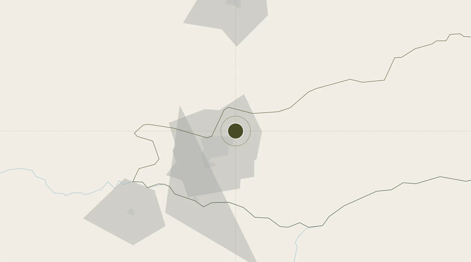
-15.3067°, 28.4529°
1,158 ha
Zone area
842.9 km
Nearest port
2.7 km
Nearest airport

Gateway access

Nearest neighbours — logibook spatial index (haversine) over the source coordinates

Zone profile

Zone type
Free Trade Zone
Open Zone Map
Region
Lusaka
Open Zone Map
Status
Active
Open Zone Map
Management
Public-Private Partnership
Open Zone Map
Operator
Zambia China Commercial and Trade Cooperation Zone
Open Zone Map
Legal framework
Statutory Instrument No. 65 of 2007
Open Zone Map

Location

Location of ozm-5213
Natural Earth 10m (public domain) · Lusaka · ozm-5213 · -15.31, 28.45GoogleOSMYandex

Nearby Logistics Neighbours

Ports
  1. 1Beira843 km
  2. 2Chinde929 km
  3. 3Quelimane943 km
  4. 4Porto Belo968 km
  5. 5Pebane1058 km
Nearest neighbours — logibook spatial index (haversine) over the source coordinates
Airports
  1. 1Kenneth Kaunda International Airport3 km
  2. 2Lusaka City Airport18 km
  3. 3Kariba Airport143 km
  4. 4Peter Zuze Air Force Base258 km
  5. 5Simon Mwansa Kapwepwe International Airport261 km
Nearest neighbours — logibook spatial index (haversine) over the source coordinates
Cities
  1. 1Mazabuka96 km
  2. 2Siavonga139 km
  3. 3Kalulishi278 km
  4. 4Kalulushi278 km
  5. 5Sakania285 km
Nearest neighbours — logibook spatial index (haversine) over the source coordinates
Trade Zones
  1. 1Roma Multi-Facility Economic Zone16 km
  2. 2Lusaka South Multi-Facility Economic Zone25 km
  3. 3Nkwashi City31 km
  4. 4Chibombo (Jiangxi) Multi-Facility Economic Zone83 km
  5. 5Royal Monze Multi-Facility Economic Zone149 km
Nearest neighbours — logibook spatial index (haversine) over the source coordinates
DatabookThe Record of Consolidated Knowledge
Zambia beyond logistics?
Browse databook

All Sources

Trade ZonesOpen Zone Map
CC BY
Portsthe NGA World Port Index
Public domain (US gov)
AirportsOurAirports
Public domain
LocationsUN/LOCODE
UN/LOCODE — free
← Zambia trade zones