Medium airport · Zambia
Kasompe AirportFLKE
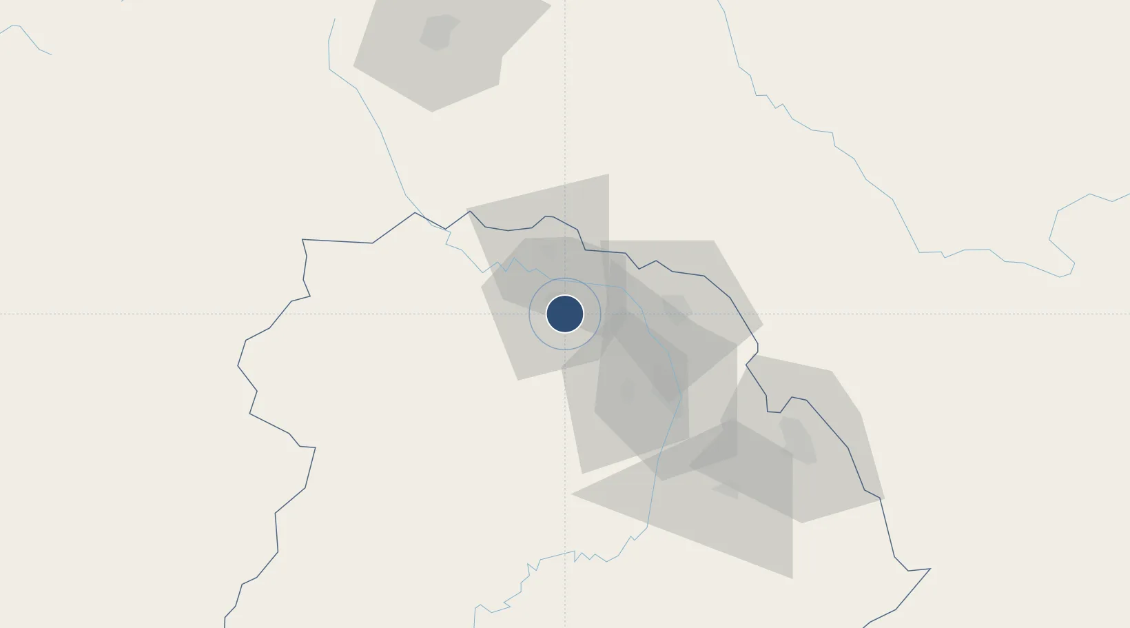
-12.5728°, 27.8939°
4,698 ft
Longest runway
1
Runways
4,636 ft
Elevation
Runway & Layout

Navaids
KE NDB Kasompe 262 kHz
Runways · 1
| Runway | Dimensions | Surface | True heading | Lit |
|---|---|---|---|---|
| 11/29 | 4,698 × 75ft | Asphalt | 104° | ✓ |
Airport Specifications
IATA code
CGJ
ICAO code
FLKE
Airport class
Medium airport
Scheduled service
No
Runway surface
Asphalt
Served city
Chingola
Location
Nearby Logistics Neighbours
Airports
Cities
- 1Kalulishi36 km
- 2Kalulushi36 km
- 3Mutasa68 km
- 4Sakania74 km
- 5Lubumbashi109 km
Ports
- 1Beira1095 km
- 2Quelimane1131 km
- 3Chinde1137 km
- 4Porto Belo1148 km
- 5Pebane1219 km
DatabookThe Record of Consolidated Knowledge
Zambia beyond logistics?