Transport Functions
Rail
Road
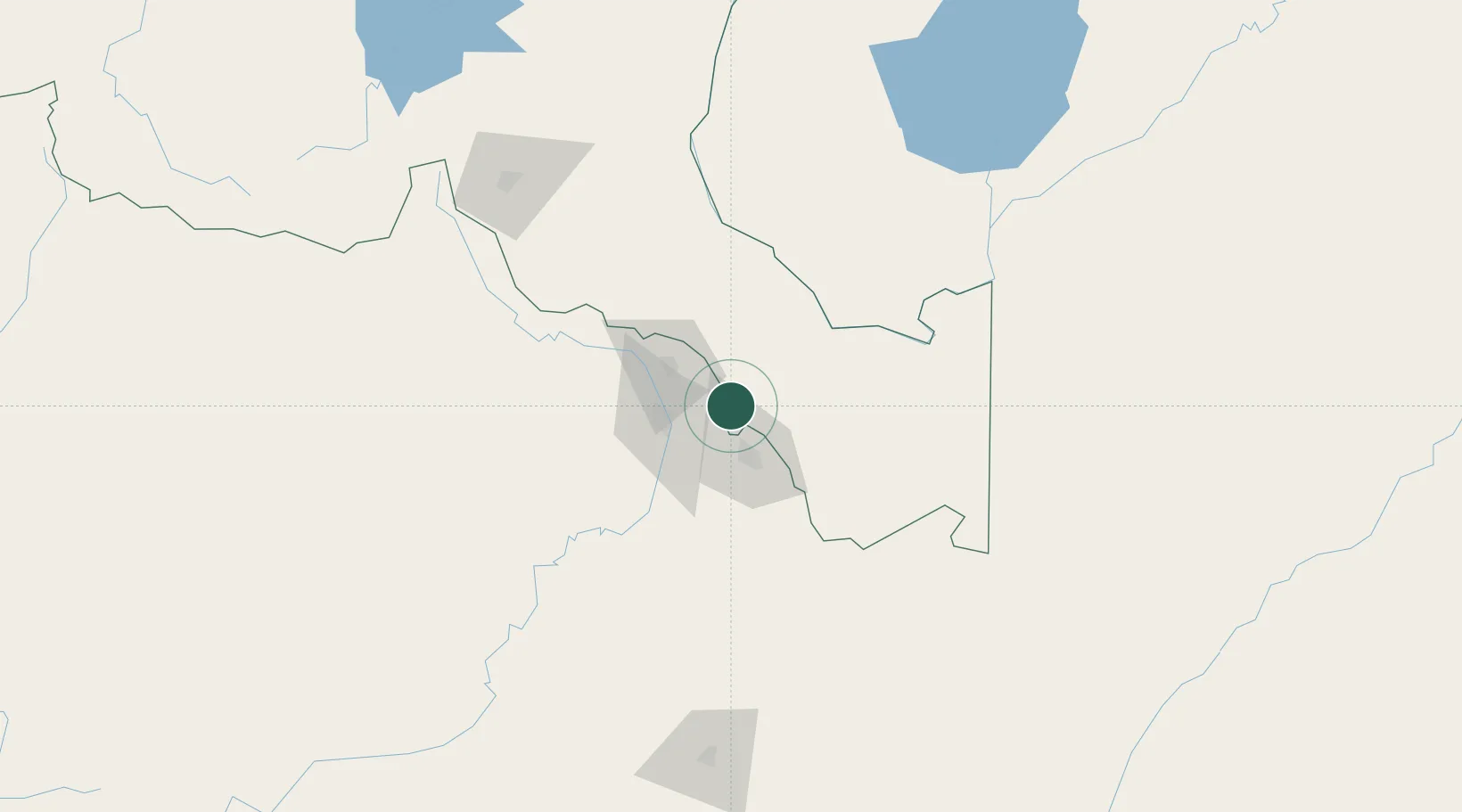
Hub Profile
Place type
Populated place
Region
Haut-Katanga
Time zone
Africa/Lubumbashi
Elevation
1,271 m
Location
Nearby Logistics Neighbours
Cities
- 1Kalulishi51 km
- 2Kalulushi51 km
- 3Mutasa132 km
- 4Lubumbashi166 km
- 5Kipushi181 km
Ports
- 1Beira1034 km
- 2Quelimane1060 km
- 3Chinde1069 km
- 4Porto Belo1077 km
- 5Pebane1147 km
Airports
DatabookThe Record of Consolidated Knowledge
Congo - Kinshasa beyond logistics?