Medium airport · Zambia

Peter Zuze Air Force BaseFLND
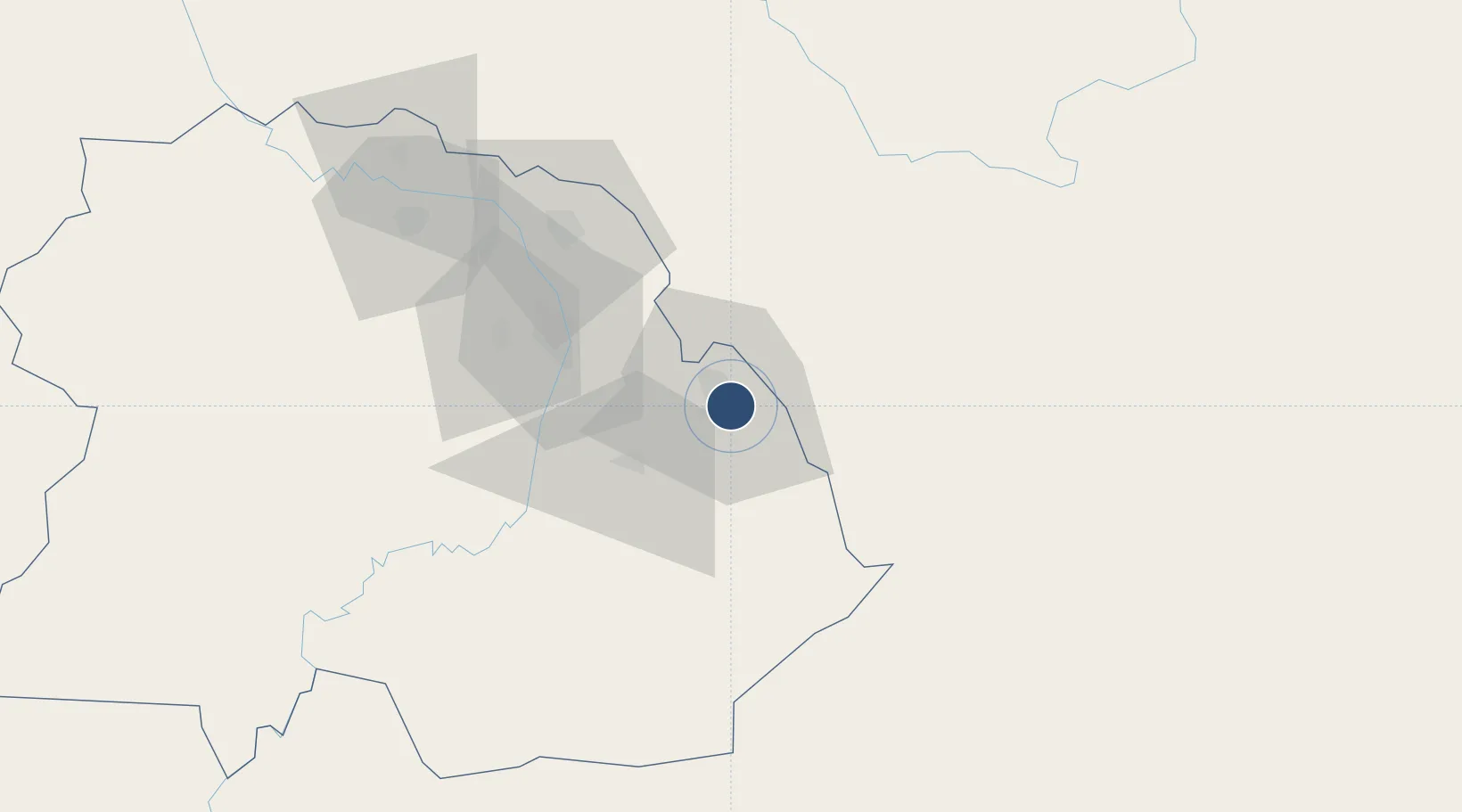
-12.9972°, 28.6639°
8,250 ft
Longest runway
2
Runways
4,170 ft
Elevation

Runway & Layout

Peter Zuze Air Force Base runway & taxiway layout
Runway & taxiway layout — OpenStreetMap (ODbL) / OurAirports

Radio Frequencies

TWR
118.3 MHz
APP
119.7 MHz
OurAirports

Navaids

NW NDB Ndola 240 kHz
VND VOR-DME Ndola 112.10 MHz
OurAirports

Runways · 2

RunwayDimensions SurfaceTrue headingLit
10L/28R 8,250 × 150ft Concrete 090°
10R/28L 4,000 × 75ft Concrete 090°
OurAirports

Airport Specifications

ICAO code
FLND
OurAirports
Airport class
Medium airport
OurAirports
Scheduled service
Yes
OurAirports
Runway surface
Concrete
OurAirports
Served city
Ndola
OurAirports

Location

Location of FLND
Natural Earth 10m (public domain) · Copperbelt · FLND · -13.00, 28.66GoogleOSMYandex

Nearby Logistics Neighbours

Airports
  1. 1Simon Mwansa Kapwepwe International Airport17 km
  2. 2Southdowns Airport57 km
  3. 3Kasompe Airport96 km
  4. 4Lubumbashi International Airport199 km
  5. 5Kenneth Kaunda International Airport261 km
Nearest neighbours — logibook spatial index (haversine) over the source coordinates
Cities
  1. 1Sakania30 km
  2. 2Kalulishi66 km
  3. 3Kalulushi66 km
  4. 4Mutasa145 km
  5. 5Lubumbashi195 km
Nearest neighbours — logibook spatial index (haversine) over the source coordinates
Ports
  1. 1Beira1005 km
  2. 2Quelimane1035 km
  3. 3Chinde1042 km
  4. 4Porto Belo1052 km
  5. 5Pebane1123 km
Nearest neighbours — logibook spatial index (haversine) over the source coordinates
DatabookThe Record of Consolidated Knowledge
Zambia beyond logistics?
Browse databook

All Sources

AirportsOurAirports
Public domain
Portsthe NGA World Port Index
Public domain (US gov)
LocationsUN/LOCODE
UN/LOCODE — free
Trade Zonesthe World Bank SEZ database
CC BY 4.0
Trade ZonesOpen Zone Map
CC BY
InfrastructureOpenStreetMap
ODbL 1.0
← Zambia airports