Export Processing Zone · Zambia

Sub-Sahara Gemstone (Ndola) Multi-Facility Economic Zone Active
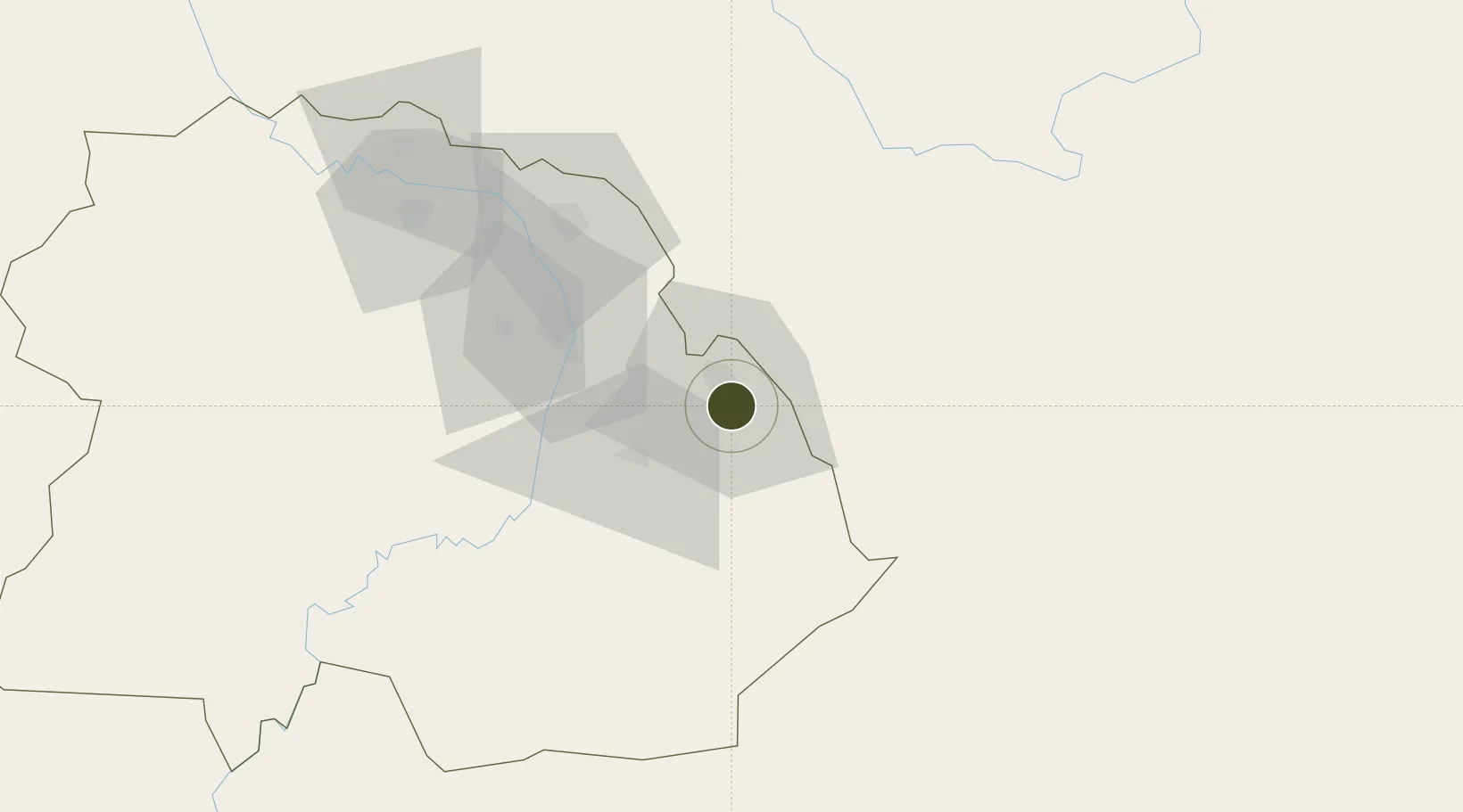
-13.0141°, 28.6546°
130 ha
Zone area
1,004.3 km
Nearest port
2.1 km
Nearest airport

Gateway access

Nearest neighbours — logibook spatial index (haversine) over the source coordinates

Zone profile

Zone type
Export Processing Zone
Open Zone Map
Region
Copperbelt
Open Zone Map
Status
Active
Open Zone Map
Management
Public-Private Partnership
Open Zone Map
Operator
Zambia China Commercial and Trade Cooperation Zone
Open Zone Map
Legal framework
Zambia Development Agency (ZDA) Act No. 11 of 2006
Open Zone Map

Location

Location of ozm-5208
Natural Earth 10m (public domain) · Copperbelt · ozm-5208 · -13.01, 28.65GoogleOSMYandex

Nearby Logistics Neighbours

Ports
  1. 1Beira1004 km
  2. 2Quelimane1035 km
  3. 3Chinde1042 km
  4. 4Porto Belo1052 km
  5. 5Pebane1123 km
Nearest neighbours — logibook spatial index (haversine) over the source coordinates
Airports
  1. 1Peter Zuze Air Force Base2 km
  2. 2Simon Mwansa Kapwepwe International Airport16 km
  3. 3Southdowns Airport56 km
  4. 4Kasompe Airport96 km
  5. 5Lubumbashi International Airport200 km
Nearest neighbours — logibook spatial index (haversine) over the source coordinates
Cities
  1. 1Sakania32 km
  2. 2Kalulishi65 km
  3. 3Kalulushi65 km
  4. 4Mutasa144 km
  5. 5Lubumbashi195 km
Nearest neighbours — logibook spatial index (haversine) over the source coordinates
DatabookThe Record of Consolidated Knowledge
Zambia beyond logistics?
Browse databook

All Sources

Trade ZonesOpen Zone Map
CC BY
Portsthe NGA World Port Index
Public domain (US gov)
AirportsOurAirports
Public domain
LocationsUN/LOCODE
UN/LOCODE — free
← Zambia trade zones