Transport Functions
Multimodal
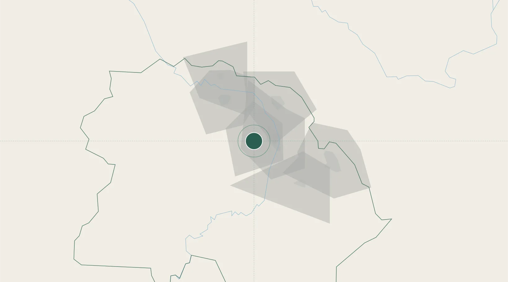
Hub Profile
Place type
Populated place
Region
Copperbelt
Population
104,046
Time zone
Africa/Lusaka
Elevation
1,304 m
Location
Nearby Logistics Neighbours
Cities
- 1Kalulishi0 km
- 2Sakania51 km
- 3Mutasa81 km
- 4Lubumbashi144 km
- 5Kipushi152 km
Ports
- 1Beira1060 km
- 2Quelimane1098 km
- 3Chinde1103 km
- 4Porto Belo1116 km
- 5Pebane1188 km
Airports
DatabookThe Record of Consolidated Knowledge
Zambia beyond logistics?