Charter City · Congo - Kinshasa
Kiswishi Special Economic Zone Under Development
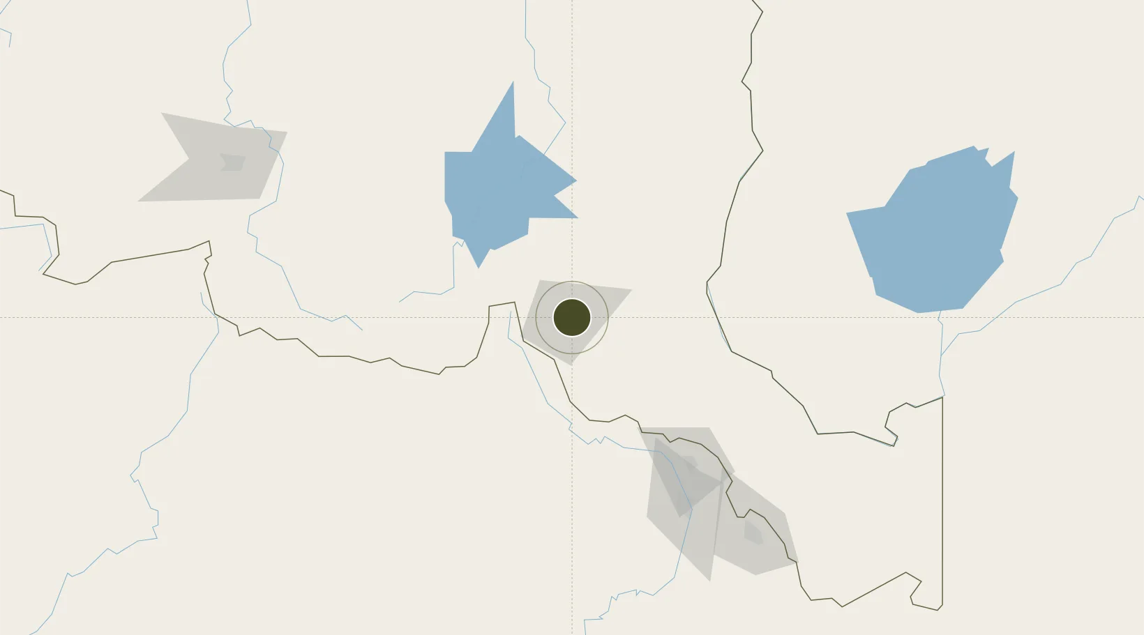
-11.6648°, 27.5312°
211 ha
Zone area
1,197.7 km
Nearest port
8.1 km
Nearest airport
Gateway access
Zone profile
Zone type
Charter City
Region
Katanga
Status
Under Development
Management
Private
Operator
Rendeavour
Legal framework
Law No. 14/022 of July 7 2014
Location
Nearby Logistics Neighbours
Ports
- 1Beira1198 km
- 2Quelimane1220 km
- 3Chinde1231 km
- 4Porto Belo1236 km
- 5Pebane1301 km
Airports
- 1Lubumbashi International Airport8 km
- 2Kasompe Airport108 km
- 3Solwesi Airport139 km
- 4Southdowns Airport153 km
- 5Simon Mwansa Kapwepwe International Airport180 km
Cities
- 1Lubumbashi5 km
- 2Kipushi34 km
- 3Likasi115 km
- 4Mutasa134 km
- 5Kalulishi143 km
DatabookThe Record of Consolidated Knowledge
Congo - Kinshasa beyond logistics?